
Bestand:AT1401 map.png
Grootte van deze voorvertoning: 614 × 600 pixels. Andere resoluties: 246 × 240 pixels | 491 × 480 pixels | 824 × 805 pixels.
Oorspronkelijk bestand (824 × 805 pixels, bestandsgrootte: 24 kB, MIME-type: image/png)
| Dit is een bestand van Wikimedia Commons. Onderstaande beschrijving komt van de beschrijving van het bestand daar. |
Beschrijving
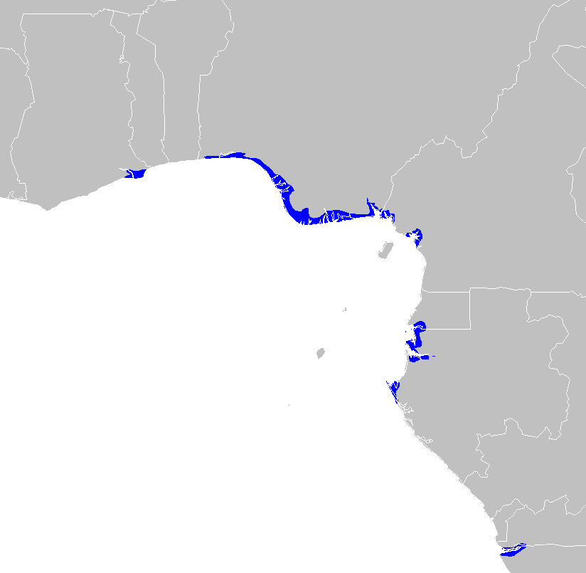
| Beschrijving | Central African mangroves ecoregion map |
| Datum | |
| Bron | Eigen werk |
| Auteur | Altatoron |
Licentie
| Ik, de auteursrechthebbende van dit werk, geef dit werk vrij in het publieke domein. Dit is wereldwijd van toepassing. In sommige landen is dit wettelijk niet mogelijk; in die gevallen geldt: Ik sta iedereen toe dit werk voor eender welk doel te gebruiken, zonder enige voorwaarden, tenzij zulke voorwaarden door de wet worden voorgeschreven. |
Bestandsgeschiedenis
Klik op een datum/tijd om het bestand te zien zoals het destijds was.
| Datum/tijd | Miniatuur | Afmetingen | Gebruiker | Opmerking | |
|---|---|---|---|---|---|
| huidige versie | 30 jan 2008 14:56 | | 824 × 805 (24 kB) | Doreano~commonswiki | {{Information |Description=Central African mangroves ecoregion map |Source=self-made |Date=2008/1/30 |Author= Altatoron |Permission= |other_versions= }} Category:Maps of Angola Category:Maps of Cameroon [[Category:Maps of Gabon] |
Bestandsgebruik
Dit bestand wordt op de volgende pagina gebruikt:
Globaal bestandsgebruik
De volgende andere wiki's gebruiken dit bestand:
- Gebruikt op ca.wikipedia.org
- Gebruikt op de.wikipedia.org
- Gebruikt op en.wikipedia.org
- Gebruikt op eo.wikipedia.org
- Gebruikt op es.wikipedia.org
- Gebruikt op fr.wikipedia.org
- Gebruikt op it.wikipedia.org
- Gebruikt op ru.wikipedia.org
- Gebruikt op uk.wikipedia.org
- Gebruikt op www.wikidata.org