
Bestand:Belgian Railway Line 79.png

Grootte van deze voorvertoning: 800 × 600 pixels. Andere resoluties: 320 × 240 pixels | 640 × 480 pixels | 1.024 × 768 pixels | 1.280 × 960 pixels | 1.380 × 1.035 pixels.
Oorspronkelijk bestand (1.380 × 1.035 pixels, bestandsgrootte: 490 kB, MIME-type: image/png)
| Dit is een bestand van Wikimedia Commons. Onderstaande beschrijving komt van de beschrijving van het bestand daar. |
Beschrijving
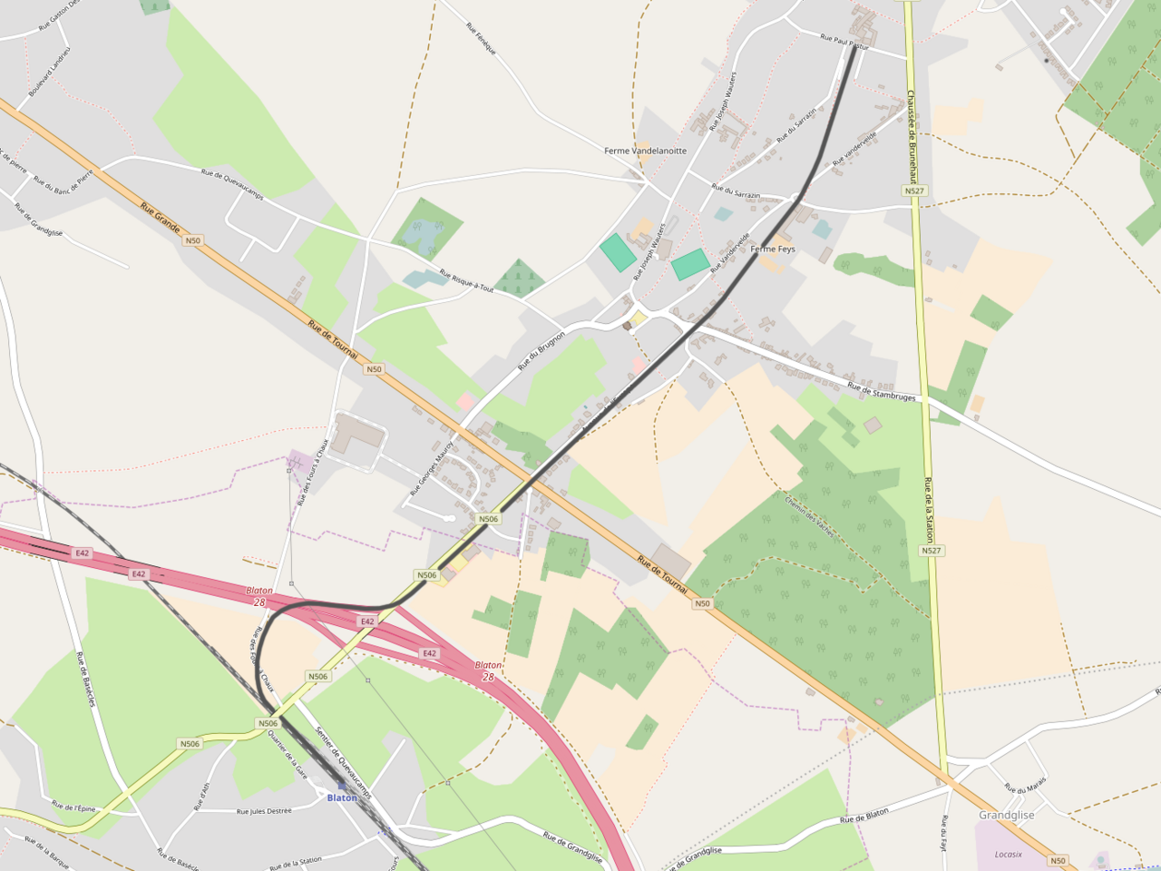
| Beschrijving | Belgian Railway Line 79, Blaton - Quevaucamps |
| Datum | |
| Bron | http://openstreetmap.org |
| Auteur | OpenStreetMap contributors |
| Toestemming (Hergebruik van dit bestand) |
All OpenStreetMap data and maps are Creative Commons "CC-BY-SA 2.0" licensed |
Licentie
Dit bestand is gelicenseerd onder de Creative Commons-licentie Naamsvermelding-Gelijk delen 2.0 Unported
- De gebruiker mag:
- Delen – het werk kopiëren, verspreiden en doorgeven
- Remixen – afgeleide werken maken
- Onder de volgende voorwaarden:
- naamsvermelding – U moet op een gepaste manier aan naamsvermelding doen, een link naar de licentie geven, en aangeven of er wijzigingen in het werk zijn aangebracht. U mag dit op elke redelijke manier doen, maar niet zodanig dat de indruk wordt gewekt dat de licentiegever instemt met uw werk of uw gebruik van zijn werk.
- Gelijk delen – Als u het werk heeft geremixt, veranderd, of erop heeft voortgebouwd, moet u het gewijzigde materiaal verspreiden onder dezelfde licentie als het oorspronkelijke werk, of een daarmee compatibele licentie.
Bestandsgeschiedenis
Klik op een datum/tijd om het bestand te zien zoals het destijds was.
| Datum/tijd | Miniatuur | Afmetingen | Gebruiker | Opmerking | |
|---|---|---|---|---|---|
| huidige versie | 13 nov 2016 16:36 | | 1.380 × 1.035 (490 kB) | Vunz | improved |
| 14 mrt 2011 21:49 |  | 1.075 × 801 (559 kB) | Vunz | Open Street Map | |
| 18 mrt 2009 23:02 |  | 520 × 390 (38 kB) | Vunz | Adjusted route according to old map Category:Rail transport maps of Belgium Category:Public domain maps from demis.nl | |
| 11 feb 2009 22:06 |  | 520 × 390 (38 kB) | Vunz | {{Information |Description={{nl|1=spoormap lijn 79}} |Source=eigen werk (own work) |Author=Wiebevl |Date=11/02/2009 |Permission= |other_versions= }} <!--{{ImageUpload|full}}--> Category:Public domain maps from demis.nl [[Category:Rai |
Bestandsgebruik
Dit bestand wordt op de volgende pagina gebruikt:
Globaal bestandsgebruik
De volgende andere wiki's gebruiken dit bestand:
- Gebruikt op www.wikidata.org