
Bestand:BlankMap-World-Flattened.svg

Afmetingen van deze voorvertoning van het type PNG van dit SVG-bestand: 800 × 406 pixels Andere resoluties: 320 × 162 pixels | 640 × 325 pixels | 1.024 × 519 pixels | 1.280 × 649 pixels | 2.560 × 1.299 pixels | 2.754 × 1.397 pixels.
Oorspronkelijk bestand (SVG-bestand, nominaal 2.754 × 1.397 pixels, bestandsgrootte: 1,68 MB)
| Dit is een bestand van Wikimedia Commons. Onderstaande beschrijving komt van de beschrijving van het bestand daar. |
Beschrijving
| Beschrijving |
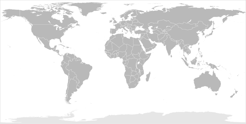
English: Blank political map of the world in modified (flattened) Robinson projection. This image is a sample of output from nugsl-worldmap, a Python script for the manipulation of this map. The script can also produce rotated images, add pinpoint marks at particular geographic coordinates, and produce web pages with clickable areas for specific countries and pinpoint marks.
Note that this map is not equirectangular, and cannot be used as a push-pin map to identify coordinates assuming equal latitude and longitude spacing. A map using the equirectangular projection is available at File:BlankMap-World6-Equirectangular.svg. |
| Datum | (for the script only) |
| Bron |
http://www.law.nagoya-u.ac.jp/en/appendix/software/worldmap/ Refactored from Image:BlankMap-World.svg, q.v. |
| Auteur | Frank Bennett |
| Toestemming (Hergebruik van dit bestand) |
The map data manipulated by the script is in the public domain. The raw output of the script, including the file shown here, is also in the public domain. |
| Andere versies |
Afgeleide werken van dit bestand:
|
| SVG ontwikkeling | De broncode van dit SVG-bestand is deugdelijk. |
Licentie
| Ik, de auteursrechthebbende van dit werk, geef dit werk vrij in het publieke domein. Dit is wereldwijd van toepassing. In sommige landen is dit wettelijk niet mogelijk; in die gevallen geldt: Ik sta iedereen toe dit werk voor eender welk doel te gebruiken, zonder enige voorwaarden, tenzij zulke voorwaarden door de wet worden voorgeschreven. |
Bestandsgeschiedenis
Klik op een datum/tijd om het bestand te zien zoals het destijds was.
| Datum/tijd | Miniatuur | Afmetingen | Gebruiker | Opmerking | |
|---|---|---|---|---|---|
| huidige versie | 20 mrt 2014 12:44 | | 2.754 × 1.397 (1,68 MB) | Underlying lk | fix classes for Soudan and South Soudan |
| 16 mrt 2013 18:01 |  | 2.754 × 1.397 (1,68 MB) | Flappiefh | South Sudan added. | |
| 14 jan 2008 13:47 |  | 2.754 × 1.397 (1,67 MB) | Biercenator | Updated to current version of map produced by the script. | |
| 19 dec 2007 15:22 |  | 940 × 477 (1,99 MB) | Biercenator | == Summary == Refactored from en:Image:BlankMap-World6.svg, q.v. This image is a sample of output from [http://gsl-nagoya-u.net/appendix/software/worldmap/ nugsl-worldmap], a Python script for the manipulation and maintenance of this map. The flatt | |
| 15 dec 2007 17:31 |  | 940 × 477 (2 MB) | Biercenator | Refactored from en:Image:BlankMap-World6.svg, q.v. This image might prove useful if you want to change the area shown in the center of the Robinson projection version, since the conversion can be reversed. | |
| 15 dec 2007 17:18 |  | 940 × 477 (2 MB) | Biercenator | == Summary == Refactored from en:BlankMap-World6.svg, q.v. This image might prove useful if you want to area shown in the center of the Robinson projection version, since the conversion can be reversed. |
Bestandsgebruik
Geen enkele pagina gebruikt dit bestand.
Globaal bestandsgebruik
De volgende andere wiki's gebruiken dit bestand:
- Gebruikt op ca.wikipedia.org
- Gebruikt op de.wikipedia.org
- Gebruikt op en.wikipedia.org
- Gebruikt op es.wikipedia.org
- Gebruikt op fr.wikipedia.org
- Gebruikt op he.wikipedia.org