
Bestand:Burundi communes.png
Grootte van deze voorvertoning: 505 × 600 pixels. Andere resoluties: 202 × 240 pixels | 404 × 480 pixels | 865 × 1.027 pixels.
Oorspronkelijk bestand (865 × 1.027 pixels, bestandsgrootte: 22 kB, MIME-type: image/png)
| Dit is een bestand van Wikimedia Commons. Onderstaande beschrijving komt van de beschrijving van het bestand daar. |
Beschrijving
| Beschrijving |
|
||
| Datum | 29 november 2006 (originele uploaddatum) | ||
| Bron | Geen machineleesbare bron opgegeven. Eigen werk aangenomen (gebaseerd op auteursrechtclaims). | ||
| Auteur | Geen machineleesbare auteur aanwezig. Op basis van auteursrechtclaims wordt auteur Electionworld aangenomen. | ||
| Andere versies |
Afgeleide werken van dit bestand: |

.png)
Licentie
| Ik, de auteursrechthebbende van dit werk, geef dit werk vrij in het publieke domein. Dit is wereldwijd van toepassing. In sommige landen is dit wettelijk niet mogelijk; in die gevallen geldt: Ik sta iedereen toe dit werk voor eender welk doel te gebruiken, zonder enige voorwaarden, tenzij zulke voorwaarden door de wet worden voorgeschreven. |
Bestandsgeschiedenis
Klik op een datum/tijd om het bestand te zien zoals het destijds was.
| Datum/tijd | Miniatuur | Afmetingen | Gebruiker | Opmerking | |
|---|---|---|---|---|---|
| huidige versie | 15 sep 2015 21:50 | | 865 × 1.027 (22 kB) | NordNordWest | upd |
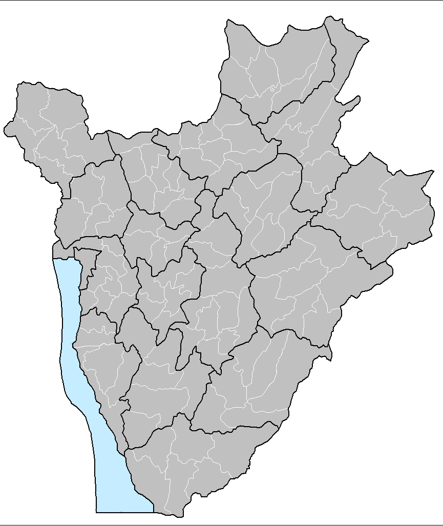
| 22 jul 2015 23:51 |  | 865 × 1.027 (33 kB) | ThomasPusch | The water area isn't a commune. Therefore it's helpful to set it to another colour, commonly light blue for water bodies in maps. • La akva areo ne estas komunumo. Tial helpas meti ĝin al alia koloro, kutime helblua por akvaĵoj en mapoj. | |
| 14 jan 2008 18:30 |  | 865 × 1.027 (59 kB) | Rarelibra | Updated map | |
| 29 nov 2006 14:17 |  | 1.025 × 624 (20 kB) | Electionworld | {{ew|en|Rarelibra}} == Summary == Map of the communes of Burundi. Created by Rarelibra 13:52, 31 March 2006 (UTC) for public domain use. Created using MapInfo Professional v7.5 and various mapping resources. == Licensing == {{PD-self}} |
Bestandsgebruik
Dit bestand wordt op de volgende pagina gebruikt:
Globaal bestandsgebruik
De volgende andere wiki's gebruiken dit bestand:
- Gebruikt op en.wikipedia.org
- Gebruikt op eo.wikipedia.org
- Gebruikt op fi.wikipedia.org
- Gebruikt op fr.wikipedia.org
- Gebruikt op id.wikipedia.org
- Gebruikt op it.wikipedia.org
- Gebruikt op ka.wikipedia.org
- Gebruikt op pt.wikipedia.org
- Gebruikt op simple.wikipedia.org
- Gebruikt op sr.wikipedia.org
- Gebruikt op sv.wikipedia.org
- Gebruikt op zu.wikipedia.org