
Bestand:Cambodia Ratanakiri locator map.svg

Afmetingen van deze voorvertoning van het type PNG van dit SVG-bestand: 664 × 600 pixels Andere resoluties: 266 × 240 pixels | 531 × 480 pixels | 850 × 768 pixels | 1.133 × 1.024 pixels | 2.267 × 2.048 pixels | 1.347 × 1.217 pixels.
Oorspronkelijk bestand (SVG-bestand, nominaal 1.347 × 1.217 pixels, bestandsgrootte: 751 kB)
| Dit is een bestand van Wikimedia Commons. Onderstaande beschrijving komt van de beschrijving van het bestand daar. |
| Beschrijving |
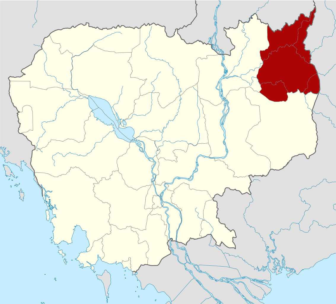
Deutsch: Positionskarte von Kambodscha Quadratische Plattkarte, N-S-Streckung 105 %. Geographische Begrenzung der Karte: * N: 14.8° N * S: 9.9° N * W: 102.2° O * O: 107.9° O Equirectangular projection, N/S stretching 105 %. Geographic limits of the map: * N: 14.8° N * S: 9.9° N * W: 102.2° E * E: 107.9° E |
| Datum | (UTC) |
| Bron | Eigen werk gebaseerd op: Cambodia location map.svg van NordNordWest |
| Auteur | Kmusser |
| SVG ontwikkeling |
| Dit is een geretoucheerde foto, wat betekent dat de originele versie digitaal aangepast is. Aanpassingen: highlighted Ratanakiri Province. Het origineel kan hier bekeken worden: Cambodia location map.svg. Aanpassingen gedaan door Kmusser.
|
Ik, de auteursrechthebbende van dit werk, maak het hierbij onder de volgende licenties beschikbaar:
Dit bestand is gelicenseerd onder de Creative Commons-licentie Naamsvermelding-Gelijk delen 3.0 Unported
- De gebruiker mag:
- Delen – het werk kopiëren, verspreiden en doorgeven
- Remixen – afgeleide werken maken
- Onder de volgende voorwaarden:
- naamsvermelding – U moet op een gepaste manier aan naamsvermelding doen, een link naar de licentie geven, en aangeven of er wijzigingen in het werk zijn aangebracht. U mag dit op elke redelijke manier doen, maar niet zodanig dat de indruk wordt gewekt dat de licentiegever instemt met uw werk of uw gebruik van zijn werk.
- Gelijk delen – Als u het werk heeft geremixt, veranderd, of erop heeft voortgebouwd, moet u het gewijzigde materiaal verspreiden onder dezelfde licentie als het oorspronkelijke werk, of een daarmee compatibele licentie.

|
Toestemming wordt verleend voor het kopiëren, verspreiden en/of wijzigen van dit document onder de voorwaarden van de GNU-licentie voor vrije documentatie, versie 1.2 of enige latere versie als gepubliceerd door de Free Software Foundation; zonder Invariant Sections, zonder Front-Cover Texts, en zonder Back-Cover Texts. Een kopie van de licentie is opgenomen in de sectie GNU-licentie voor vrije documentatie. |
U mag zelf één van de licenties kiezen.
Oorspronkelijk uploadlogboek
This image is a derivative work of the following images:
- File:Cambodia_location_map.svg licensed with Cc-by-sa-3.0, GFDL
- 2009-02-12T21:35:03Z NordNordWest 1347x1217 (728478 Bytes) smaller file
- 2009-02-12T20:56:36Z NordNordWest 1347x1216 (1074945 Bytes) {{Information |Description= {{de|Positionskarte von [[:de:Kambodscha|Kambodscha]]}} Quadratische Plattkarte, N-S-Streckung 105 %. Geographische Begrenzung der Karte: * N: 14.8° N * S: 9.9° N * W: 102.2° O * O: 107.9° O {{
Bestandsgeschiedenis
Klik op een datum/tijd om het bestand te zien zoals het destijds was.
| Datum/tijd | Miniatuur | Afmetingen | Gebruiker | Opmerking | |
|---|---|---|---|---|---|
| huidige versie | 8 jun 2010 17:26 | | 1.347 × 1.217 (751 kB) | Kmusser | {{Information |Description={{de|Positionskarte von Kambodscha}} Quadratische Plattkarte, N-S-Streckung 105 %. Geographische Begrenzung der Karte: * N: 14.8° N * S: 9.9° N * W: 102.2° O * O: 107.9° O {{en|Location map of [[:en:Cambod |
Bestandsgebruik
Dit bestand wordt op de volgende pagina gebruikt:
Globaal bestandsgebruik
De volgende andere wiki's gebruiken dit bestand:
- Gebruikt op bg.wikipedia.org
- Gebruikt op ceb.wikipedia.org
- Gebruikt op en.wikipedia.org
- Ratanakiri province
- Banlung
- Lake Yeak Laom
- Ka Choung
- Template:Ratanakiri province
- Andoung Meas District
- Banlung municipality
- Bar Kaev District
- Koun Mom District
- Lumphat District
- Ou Chum District
- Ou Ya Dav District
- Ta Veaeng District
- Veun Sai District
- Kak (commune)
- Keh Chong Commune
- La Minh Commune
- Lung Khung
- Hat Pak
- Ka Choun
- Kaoh Pang
- Kaoh Peak
- Kok Lak
- Pa Kalan
- Ban Pong (commune)
- Phnum Kok
- Veun Sai (commune)
- Bar Kham
- Lum Choar
- Pak Nhai
- Sesan Commune
- Saom Thum
- Ya Tung
- Pate, Cambodia
- Cha Ung
- Pouy (commune)
- Aekakpheap
- Kalai, Cambodia
- Ou Chum (commune)
- Sameakki
- L'ak
- Yeak Laom
- Wikipedia:Graphics Lab/Map workshop/Archive/Feb 2010
- Category:Geography of Ratanakiri province
- Project Copper
- Ratanakiri (National Assembly constituency)
- Gebruikt op fa.wikipedia.org
- Gebruikt op fi.wikipedia.org
Globaal gebruik van dit bestand bekijken.