
Bestand:Croatian Prevlaka in occupation by Montenegro and Serbia.jpg
Geen hogere resolutie beschikbaar.
Croatian_Prevlaka_in_occupation_by_Montenegro_and_Serbia.jpg (760 × 560 pixels, bestandsgrootte: 118 kB, MIME-type: image/jpeg)
| Dit is een bestand van Wikimedia Commons. Onderstaande beschrijving komt van de beschrijving van het bestand daar. |
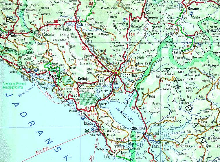
| Beschrijving | Map of Montenegrin Littoral Region and Boka kotorska in the time of occupation of Croatian Prevlaka Region which is the remaining part of Boka kotorska that belongs to Croatia. | |||
| Datum | 1991-2002 (occupation ended 1992-10-20 at 20:30) (UNMIK mission ended 2002-12-20). | |||
| Bron | Ministry of Foreign Affairs of the State Union Serbia and Montenegro (before that MFA of Federal Republic of Yugoslavia | |||
| Auteur | Serbian Official Cartography (Public Service at the time). | |||
| Toestemming (Hergebruik van dit bestand) |
|
|||
| Andere versies | Geographical version. |

Bestandsgeschiedenis
Klik op een datum/tijd om het bestand te zien zoals het destijds was.
| Datum/tijd | Miniatuur | Afmetingen | Gebruiker | Opmerking | |
|---|---|---|---|---|---|
| huidige versie | 16 feb 2008 04:05 | | 760 × 560 (118 kB) | Imbris~commonswiki | {{Information |Description=Map of Montenegrin ''Littoral Region'' and ''Boka kotorska'' in the time of occupation of Croatian hr:Prevlaka Region which is the remaining part of Boka kotorska that belongs to Croatia. |Source=[http://www.mfa.gov.yu/Fact |
Bestandsgebruik
Dit bestand wordt op de volgende pagina gebruikt:
Globaal bestandsgebruik
De volgende andere wiki's gebruiken dit bestand:
- Gebruikt op ca.wikipedia.org
- Gebruikt op ckb.wikipedia.org
- Gebruikt op de.wikipedia.org
- Gebruikt op en.wikipedia.org
- Gebruikt op fa.wikipedia.org
- Gebruikt op hr.wikipedia.org
- Gebruikt op id.wikipedia.org
- Gebruikt op mzn.wikipedia.org
- Gebruikt op ru.wikipedia.org
- Gebruikt op sh.wikipedia.org
- Gebruikt op sq.wikipedia.org
- Gebruikt op www.wikidata.org
- Gebruikt op zh.wikipedia.org