
Bestand:Daraa districts.png
Grootte van deze voorvertoning: 793 × 600 pixels. Andere resoluties: 318 × 240 pixels | 635 × 480 pixels | 1.005 × 760 pixels.
Oorspronkelijk bestand (1.005 × 760 pixels, bestandsgrootte: 20 kB, MIME-type: image/png)
| Dit is een bestand van Wikimedia Commons. Onderstaande beschrijving komt van de beschrijving van het bestand daar. |
Beschrijving
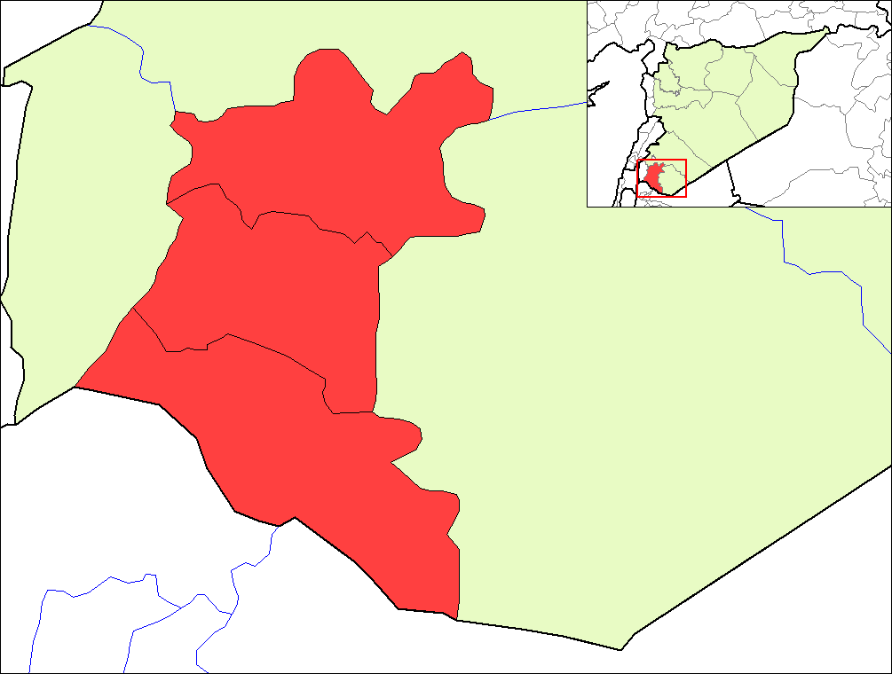
| Beschrijving | Map of the districts of Daraa governorate in Syria. | ||
| Datum | |||
| Bron | Created by Rarelibra 16:23, 8 May 2007 (UTC) for public domain use, using MapInfo Professional v8.5 and various mapping resources. | ||
| Auteur | Rarelibra | ||
| Toestemming (Hergebruik van dit bestand) |
|
Bestandsgeschiedenis
Klik op een datum/tijd om het bestand te zien zoals het destijds was.
| Datum/tijd | Miniatuur | Afmetingen | Gebruiker | Opmerking | |
|---|---|---|---|---|---|
| huidige versie | 8 mei 2007 21:24 | | 1.005 × 760 (20 kB) | Anas Salloum | modified with permission of original author |
| 8 mei 2007 18:23 |  | 1.056 × 816 (20 kB) | Rarelibra | Map of the districts of Daraa governorate in Syria. Created by ~~~~ for public domain use, using MapInfo Professional v8.5 and various mapping resources. |
Bestandsgebruik
Geen enkele pagina gebruikt dit bestand.
Globaal bestandsgebruik
De volgende andere wiki's gebruiken dit bestand:
- Gebruikt op az.wikipedia.org
- Gebruikt op ca.wikipedia.org
- Gebruikt op en.wikipedia.org
- Gebruikt op es.wikipedia.org
- Gebruikt op fr.wikipedia.org
- Gebruikt op hy.wikipedia.org
- Gebruikt op ru.wikipedia.org
- Gebruikt op sv.wikipedia.org
- Gebruikt op www.wikidata.org