
Bestand:Eritrea and Northern Ethiopia shaded relief map 1999, CIA.jpg

Grootte van deze voorvertoning: 506 × 600 pixels. Andere resoluties: 202 × 240 pixels | 405 × 480 pixels | 648 × 768 pixels | 1.070 × 1.268 pixels.
Oorspronkelijk bestand (1.070 × 1.268 pixels, bestandsgrootte: 322 kB, MIME-type: image/jpeg)
| Dit is een bestand van Wikimedia Commons. Onderstaande beschrijving komt van de beschrijving van het bestand daar. |
Beschrijving
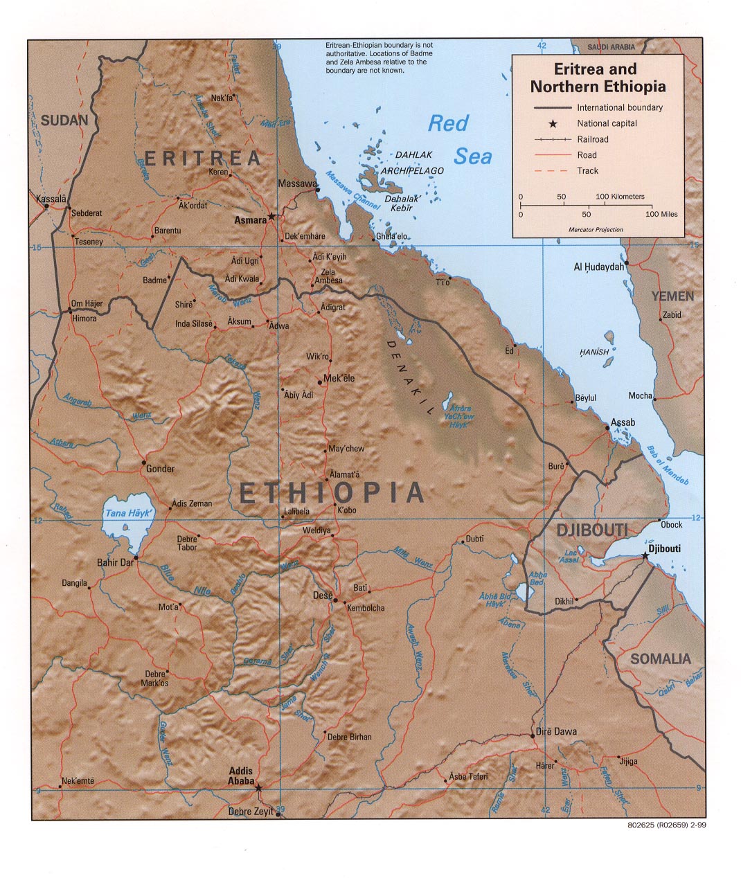
| Beschrijving | Eritrea and Northern Ethiopia (Shaded Relief), 1999 |
| Datum | |
| Bron |
University of Texas Libraries, Perry-Castañeda Library Map Collection: Ethiopia Maps |
| Auteur | CIA |
Licentie
| This image is a work of a Central Intelligence Agency employee, taken or made as part of that person's official duties. As a Work of the United States Government, this image or media is in the public domain in the United States.
|

|
Bestandsgeschiedenis
Klik op een datum/tijd om het bestand te zien zoals het destijds was.
| Datum/tijd | Miniatuur | Afmetingen | Gebruiker | Opmerking | |
|---|---|---|---|---|---|
| huidige versie | 27 sep 2005 19:35 | | 1.070 × 1.268 (322 kB) | Andro96~commonswiki | Eritrea and Northern Ethiopia (Shaded Relief) 1999 map was produced by the U.S. Central Intelligence Agency http://www.lib.utexas.edu/maps/ethiopia.html |
Bestandsgebruik
Dit bestand wordt op de volgende 2 pagina's gebruikt:
Globaal bestandsgebruik
De volgende andere wiki's gebruiken dit bestand:
- Gebruikt op ca.wikipedia.org
- Gebruikt op ckb.wikipedia.org
- Gebruikt op de.wikipedia.org
- Gebruikt op de.wikibooks.org
- Gebruikt op en.wikipedia.org
- Gebruikt op fa.wikipedia.org
- Gebruikt op id.wikipedia.org
- Gebruikt op mzn.wikipedia.org
- Gebruikt op www.wikidata.org
- Gebruikt op zh.wikipedia.org