
Bestand:Guyane department location map.svg

Afmetingen van deze voorvertoning van het type PNG van dit SVG-bestand: 497 × 600 pixels Andere resoluties: 199 × 240 pixels | 398 × 480 pixels | 637 × 768 pixels | 849 × 1.024 pixels | 1.698 × 2.048 pixels | 1.183 × 1.427 pixels.
Oorspronkelijk bestand (SVG-bestand, nominaal 1.183 × 1.427 pixels, bestandsgrootte: 433 kB)
| Dit is een bestand van Wikimedia Commons. Onderstaande beschrijving komt van de beschrijving van het bestand daar. |
Beschrijving
| Cameralocatie | | Deze en andere afbeeldingen in: OpenStreetMap |
|---|
| Beschrijving |
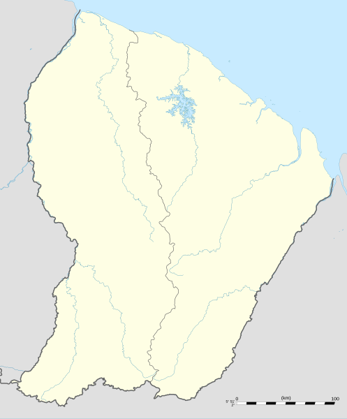
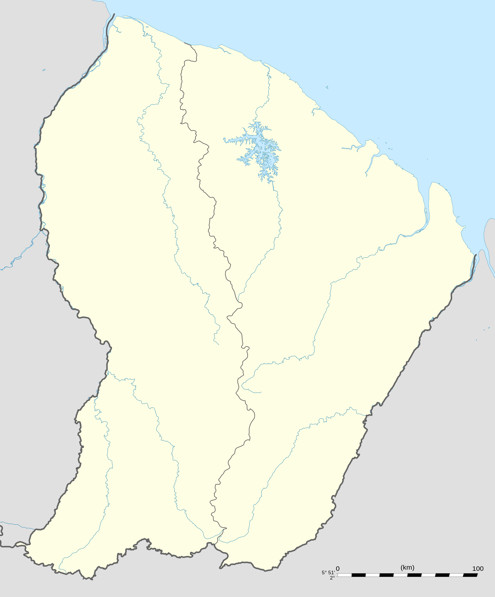
English: Blank administrative map of the region and department of the French Guiana, France, for geo-location purpose, with arrondissements boundaries.
Français : Carte administrative vierge de la région et département de Guyane, France, destinée à la géolocalisation, avec limite des arrondissements. Equirectangular projection, WGS84 datum
Geographic limits of the map:
|
||
| Datum | |||
| Bron |
Eigen werk
|
||
| Auteur | Eric Gaba (Sting - fr:Sting) | ||
| Toestemming (Hergebruik van dit bestand) |
|
||
| Andere versies |
|

Licentie
Ik, de auteursrechthebbende van dit werk, maak het hierbij onder de volgende licenties beschikbaar:
Dit bestand is gelicenseerd onder de Creative Commons-licentie Naamsvermelding-Gelijk delen 3.0 Unported
- De gebruiker mag:
- Delen – het werk kopiëren, verspreiden en doorgeven
- Remixen – afgeleide werken maken
- Onder de volgende voorwaarden:
- naamsvermelding – U moet op een gepaste manier aan naamsvermelding doen, een link naar de licentie geven, en aangeven of er wijzigingen in het werk zijn aangebracht. U mag dit op elke redelijke manier doen, maar niet zodanig dat de indruk wordt gewekt dat de licentiegever instemt met uw werk of uw gebruik van zijn werk.
- Gelijk delen – Als u het werk heeft geremixt, veranderd, of erop heeft voortgebouwd, moet u het gewijzigde materiaal verspreiden onder dezelfde licentie als het oorspronkelijke werk, of een daarmee compatibele licentie.

|
Toestemming wordt verleend voor het kopiëren, verspreiden en/of wijzigen van dit document onder de voorwaarden van de GNU-licentie voor vrije documentatie, versie 1.2 of enige latere versie als gepubliceerd door de Free Software Foundation; zonder Invariant Sections, zonder Front-Cover Texts, en zonder Back-Cover Texts. Een kopie van de licentie is opgenomen in de sectie GNU-licentie voor vrije documentatie. |
U mag zelf één van de licenties kiezen.
Bestandsgeschiedenis
Klik op een datum/tijd om het bestand te zien zoals het destijds was.
| Datum/tijd | Miniatuur | Afmetingen | Gebruiker | Opmerking | |
|---|---|---|---|---|---|
| huidige versie | 19 sep 2008 02:18 | | 1.183 × 1.427 (433 kB) | Sting | == Summary == {{Location|03|55|30|N|53|06|00|W|scale:4000000}} <br/> {{Information |Description={{en|Blank administrative map of the region and department of the French Guiana, France, for geo-location purpose, with distinct boundari |
Bestandsgebruik
Dit bestand wordt op de volgende 51 pagina's gebruikt:
- Antecume Pata
- Apatou (plaats)
- Awala-Yalimapo
- Balaté
- Belikampoe
- Bellevue (Frans-Guyana)
- Camopi (gemeente)
- Cayenne (stad)
- Centre Spatial Guyanais
- Domaine Experimental Paracou
- Dégrad des Cannes
- Espérance (Frans-Guyana)
- Grand-Santi
- Iracoubo (gemeente)
- Kayodé
- Kourou
- Luchthaven Camopi
- Luchthaven Grand-Santi
- Luchthaven Maripasoula
- Luchthaven Saint-Laurent-du-Maroni
- Luchthaven Saül
- Luchthaven van Cayenne-Félix Eboué
- Macouria
- Mana (gemeente in Frans-Guyana)
- Maripasoula
- Matoury
- Montsinéry-Tonnegrande
- Nouveau Wakapou
- Organabo
- Ouanary
- Papaichton
- Pilima
- Providence (Frans-Guyana)
- Roura
- Régina
- Rémire-Montjoly
- Saint-Georges (Frans-Guyana)
- Saint-Jean-du-Maroni
- Saint-Laurent-du-Maroni
- Saint-Élie
- Saül
- Sinnamary
- Stade Georges-Chaumet
- Talhuwen
- Teko (volk)
- Twenkë
- Vichy (Frans-Guyana)
- Voetbal in Latijns-Amerika
- Élahé
- Gebruiker:SurinameCentral/French Guiana Neutral Maps
- Sjabloon:Positiekaart Frans-Guyana
Globaal bestandsgebruik
De volgende andere wiki's gebruiken dit bestand:
- Gebruikt op af.wikipedia.org
- Gebruikt op als.wikipedia.org
- Gebruikt op an.wikipedia.org
- Gebruikt op ar.wikipedia.org
- Gebruikt op ast.wikipedia.org
- Gebruikt op be-tarask.wikipedia.org
- Gebruikt op be.wikipedia.org
- Gebruikt op bg.wikipedia.org
- Gebruikt op bs.wikipedia.org
- Gebruikt op ca.wikipedia.org
- Gebruikt op ceb.wikipedia.org
- Plantilya:Location map French Guiana
- Rocky Point
- Mana (pagklaro)
- Montravel
- Saint-Georges (pagklaro)
- Canal de l'Écluse
- Kourou (pagklaro)
- Kouro
- Canal de l'Ouest
- Crique Coco
- Devils Island
- Kayen
- White Rocks
- Tako
- Cascade River
- Bonnet Rock
- Monkey Mountain
- Kouloumouli Itou
- Rio Oiapoque
- Îlet Alice
- Saut Moura
- Grand Lac
- French Point
- Pointe Française
- Yaou
- Roches Blanches
- Les Mamelles
- Maroni
- Anse de l'Hôpital
- Anse de l'Hopital
- Branche Nord
- Branche Sud
- Crique Alphonse
Globaal gebruik van dit bestand bekijken.