
Bestand:Karte Nationalpark Kalkalpen.png
Grootte van deze voorvertoning: 782 × 599 pixels. Andere resoluties: 313 × 240 pixels | 626 × 480 pixels | 1.002 × 768 pixels | 1.280 × 981 pixels | 2.560 × 1.962 pixels | 2.849 × 2.184 pixels.
Oorspronkelijk bestand (2.849 × 2.184 pixels, bestandsgrootte: 462 kB, MIME-type: image/png)
| Dit is een bestand van Wikimedia Commons. Onderstaande beschrijving komt van de beschrijving van het bestand daar. |
Beschrijving
| Beschrijving |
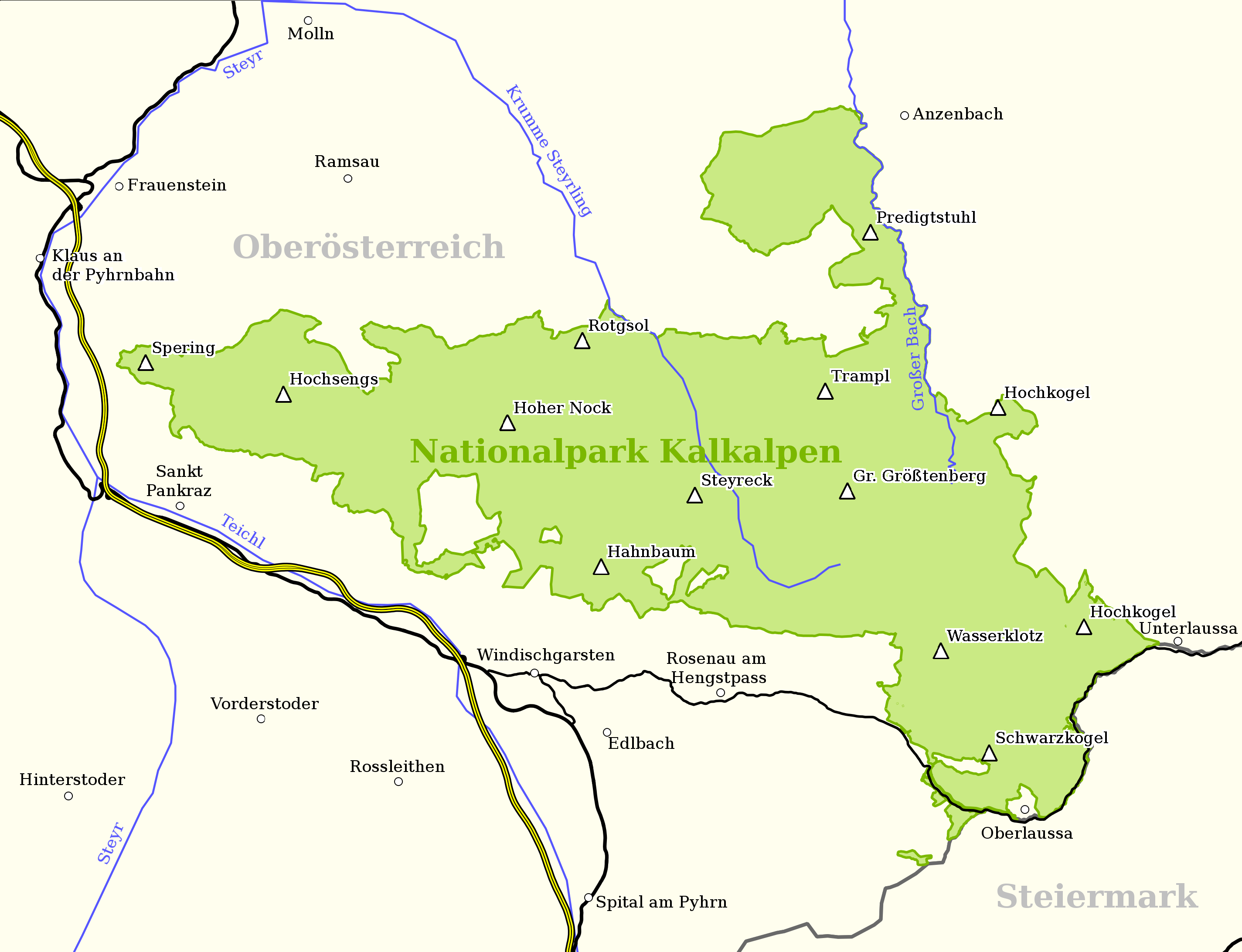
English: Map of the National park Kalkalpen, Austria;
based on a map found on: www.kalkalpen.at
Deutsch: Karte des Nationalparks Kalkalpen, Österreich;
basierend auf eine Karte von: www.kalkalpen.at |
| Datum | |
| Bron | Eigen werk |
| Auteur | Anitagraser |
Licentie
Ik, de auteursrechthebbende van dit werk, maak het hierbij onder de volgende licenties beschikbaar:
Dit bestand is gelicenseerd onder de Creative Commons-licentie Naamsvermelding-Gelijk delen 3.0 Unported
- De gebruiker mag:
- Delen – het werk kopiëren, verspreiden en doorgeven
- Remixen – afgeleide werken maken
- Onder de volgende voorwaarden:
- naamsvermelding – U moet op een gepaste manier aan naamsvermelding doen, een link naar de licentie geven, en aangeven of er wijzigingen in het werk zijn aangebracht. U mag dit op elke redelijke manier doen, maar niet zodanig dat de indruk wordt gewekt dat de licentiegever instemt met uw werk of uw gebruik van zijn werk.
- Gelijk delen – Als u het werk heeft geremixt, veranderd, of erop heeft voortgebouwd, moet u het gewijzigde materiaal verspreiden onder dezelfde licentie als het oorspronkelijke werk, of een daarmee compatibele licentie.

|
Toestemming wordt verleend voor het kopiëren, verspreiden en/of wijzigen van dit document onder de voorwaarden van de GNU-licentie voor vrije documentatie, versie 1.2 of enige latere versie als gepubliceerd door de Free Software Foundation; zonder Invariant Sections, zonder Front-Cover Texts, en zonder Back-Cover Texts. Een kopie van de licentie is opgenomen in de sectie GNU-licentie voor vrije documentatie. |
U mag zelf één van de licenties kiezen.
Bestandsgeschiedenis
Klik op een datum/tijd om het bestand te zien zoals het destijds was.
| Datum/tijd | Miniatuur | Afmetingen | Gebruiker | Opmerking | |
|---|---|---|---|---|---|
| huidige versie | 31 mei 2015 23:48 | | 2.849 × 2.184 (462 kB) | Cmdrjameson | Compressed with pngout. Reduced by 182kB (28% decrease). |
| 22 feb 2009 18:28 |  | 2.849 × 2.184 (645 kB) | Anitagraser | added roads | |
| 15 feb 2009 23:56 |  | 2.849 × 2.184 (483 kB) | Anitagraser | minor changes: background color, frame, minor geometric changes | |
| 15 feb 2009 19:47 |  | 2.783 × 2.118 (408 kB) | Anitagraser | {{Information |Description={{en|1=Map of the National park Kalkalpen, Austria; based on a map found on: [http://www.kalkalpen.at/ www.kalkalpen.at]}} {{de|1=Karte des Nationalparks Kalkalpen, Österreich; basierend auf eine Karte von: [http://www.kalkalpe |
Bestandsgebruik
Dit bestand wordt op de volgende pagina gebruikt:
Globaal bestandsgebruik
De volgende andere wiki's gebruiken dit bestand:
- Gebruikt op de.wikipedia.org
- Gebruikt op pl.wikipedia.org
- Gebruikt op sv.wikipedia.org