
Bestand:Kuwait-Iraq barrier.png

Oorspronkelijk bestand (1.060 × 1.218 pixels, bestandsgrootte: 964 kB, MIME-type: image/png)
| Dit is een bestand van Wikimedia Commons. Onderstaande beschrijving komt van de beschrijving van het bestand daar. |
Transwiki approved by: w:en:User:Dmcdevit
This image was copied from wikipedia:en. The original description was:
Original map license (map from the CIA):
| This image is a work of a Central Intelligence Agency employee, taken or made as part of that person's official duties. As a Work of the United States Government, this image or media is in the public domain in the United States.
|

|
Source: Courtesy of the University of Texas Libraries, The University of Texas at Austin for the map originally found at : http://www.lib.utexas.edu/maps/middle_east_and_asia/kuwait_pol96.jpg
Modified map license (the one that can be seen here)
| Ik, de auteursrechthebbende van dit werk, geef dit werk vrij in het publieke domein. Dit is wereldwijd van toepassing. In sommige landen is dit wettelijk niet mogelijk; in die gevallen geldt: Ik sta iedereen toe dit werk voor eender welk doel te gebruiken, zonder enige voorwaarden, tenzij zulke voorwaarden door de wet worden voorgeschreven. |
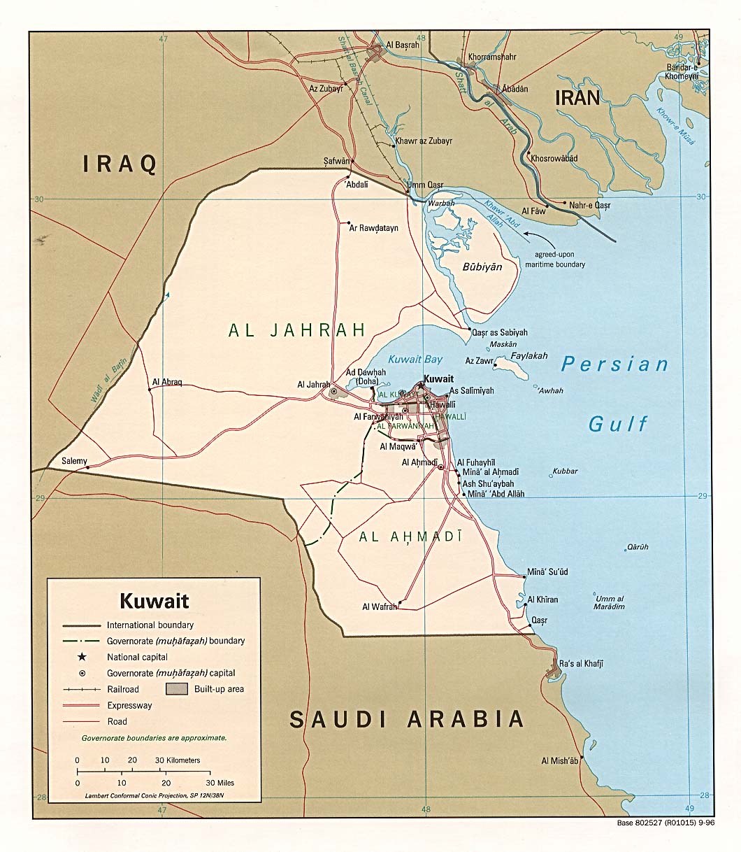
I drew the barrier on the map, based on the fact it extends 6 miles into Iraq and 3 into Kuwait.
Note
Even though this is a .png file the original file is .jpg, so the quality is fairly low.
.xcf version, can be opened in w:en:GIMP
Oorspronkelijk uploadlogboek
| date/time | username | resolution | size | edit summary |
|---|---|---|---|---|
| 16:27, 21 June 2007 | w:en:User:Jackaranga | 1060×1218 | 1.38 MB | {{BadJPG}} ==Original map license (map from the CIA):== {{PD-USgov}} Source: ''Courtesy of the University of Texas Libraries, The University of Texas at Austin'' for the map originally found at : http://www.lib.utexas.edu/maps/middle_east_and_asia/kuwait |
Image description page history
| link | date/time | username | edit summary |
|---|---|---|---|
| http://en.wikipedia.org/w/index.php?title=Image:Kuwait-Iraq_barrier.png&redirect=no&oldid=139701165 | 08:50, 7 September 2007 | w:en:User:Dmcdevit | |
| http://en.wikipedia.org/w/index.php?title=Image:Kuwait-Iraq_barrier.png&redirect=no&oldid=139701165 | 16:52, 21 June 2007 | w:en:User:Jackaranga | |
| http://en.wikipedia.org/w/index.php?title=Image:Kuwait-Iraq_barrier.png&redirect=no&oldid=139696697 | 16:31, 21 June 2007 | w:en:User:Jackaranga | |
| http://en.wikipedia.org/w/index.php?title=Image:Kuwait-Iraq_barrier.png&redirect=no&oldid=139695842 | 16:27, 21 June 2007 | w:en:User:Jackaranga | ({{BadJPG}} ==Original map license (map from the CIA):== {{PD-USgov}} Source: ''Courtesy of the University of Texas Libraries, The University of Texas at Austin'' for the map originally found at : http://www.lib.utexas.edu/maps/middle_east_and_asia/kuwait) |
Bestandsgeschiedenis
Klik op een datum/tijd om het bestand te zien zoals het destijds was.
| Datum/tijd | Miniatuur | Afmetingen | Gebruiker | Opmerking | |
|---|---|---|---|---|---|
| huidige versie | 8 apr 2021 00:42 | | 1.060 × 1.218 (964 kB) | JohnVanVliet | jpg artifact removal |
| 8 sep 2007 06:51 |  | 1.060 × 1.218 (1,38 MB) | BetacommandBot | Transwiki approved by: w:en:User:Dmcdevit This image was copied from wikipedia:en. The original description was: {{BadJPG}} ==Original map license (map from the CIA):== {{PD-USGov-CIA}} Source: ''Courtesy of the University of Texas Libraries, The U |
Bestandsgebruik
Dit bestand wordt op de volgende pagina gebruikt:
Globaal bestandsgebruik
De volgende andere wiki's gebruiken dit bestand:
- Gebruikt op ar.wikipedia.org
- Gebruikt op ca.wikipedia.org
- Gebruikt op ckb.wikipedia.org
- Gebruikt op de.wikipedia.org
- Gebruikt op en.wikipedia.org
- Gebruikt op es.wikipedia.org
- Gebruikt op fa.wikipedia.org
- Gebruikt op fr.wikipedia.org
- Gebruikt op id.wikipedia.org
- Gebruikt op ja.wikipedia.org
- Gebruikt op mzn.wikipedia.org
- Gebruikt op pl.wikipedia.org
- Gebruikt op pt.wikipedia.org
- Gebruikt op tg.wikipedia.org
- Gebruikt op uk.wikipedia.org
- Gebruikt op www.wikidata.org
- Gebruikt op zh.wikipedia.org