
Bestand:Leinster locator map.svg

Afmetingen van deze voorvertoning van het type PNG van dit SVG-bestand: 481 × 599 pixels Andere resoluties: 192 × 240 pixels | 385 × 480 pixels | 616 × 768 pixels | 822 × 1.024 pixels | 1.643 × 2.048 pixels | 1.450 × 1.807 pixels.
Oorspronkelijk bestand (SVG-bestand, nominaal 1.450 × 1.807 pixels, bestandsgrootte: 686 kB)
| Dit is een bestand van Wikimedia Commons. Onderstaande beschrijving komt van de beschrijving van het bestand daar. |
Beschrijving
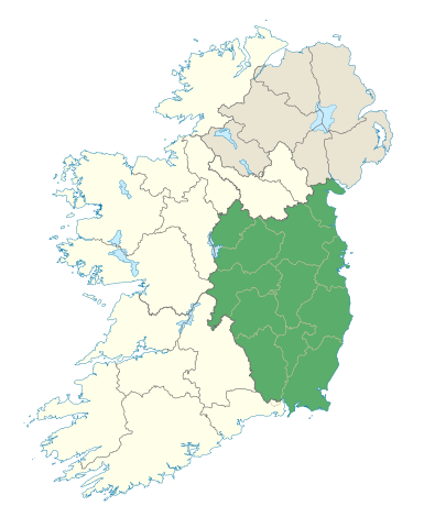
| Beschrijving | Locator map of Leinster. |
| Datum | (UTC) |
| Bron | |
| Auteur |
|
Licentie
Ik, de auteursrechthebbende van dit werk, maak het hierbij onder de volgende licentie beschikbaar:
Dit bestand is gelicenseerd onder de Creative Commons-licentie Naamsvermelding-Gelijk delen 3.0 Unported
- De gebruiker mag:
- Delen – het werk kopiëren, verspreiden en doorgeven
- Remixen – afgeleide werken maken
- Onder de volgende voorwaarden:
- naamsvermelding – U moet op een gepaste manier aan naamsvermelding doen, een link naar de licentie geven, en aangeven of er wijzigingen in het werk zijn aangebracht. U mag dit op elke redelijke manier doen, maar niet zodanig dat de indruk wordt gewekt dat de licentiegever instemt met uw werk of uw gebruik van zijn werk.
- Gelijk delen – Als u het werk heeft geremixt, veranderd, of erop heeft voortgebouwd, moet u het gewijzigde materiaal verspreiden onder dezelfde licentie als het oorspronkelijke werk, of een daarmee compatibele licentie.
Bestandsgeschiedenis
Klik op een datum/tijd om het bestand te zien zoals het destijds was.
| Datum/tijd | Miniatuur | Afmetingen | Gebruiker | Opmerking | |
|---|---|---|---|---|---|
| huidige versie | 7 jan 2012 21:48 | | 1.450 × 1.807 (686 kB) | NikNaks | Removing modern boundaries |
| 7 jan 2012 20:10 |  | 1.450 × 1.807 (707 kB) | NikNaks | More detailed map | |
| 7 jan 2012 19:52 |  | 400 × 500 (281 kB) | NikNaks93 | == {{int:filedesc}} == {{Information |Description=Locator map of Leinster. |Source=*File:Ireland_trad_counties_named.svg |Date=2012-01-07 17:50 (UTC) |Author=*File:Ireland_trad_counties_named.svg: *[[:File:Population_density_of_Ireland_map2002 |
Bestandsgebruik
Dit bestand wordt op de volgende pagina gebruikt:
Globaal bestandsgebruik
De volgende andere wiki's gebruiken dit bestand:
- Gebruikt op ar.wikipedia.org
- Gebruikt op ast.wikipedia.org
- Gebruikt op az.wikipedia.org
- Gebruikt op be.wikipedia.org
- Gebruikt op bg.wikipedia.org
- Gebruikt op ca.wikipedia.org
- Gebruikt op ceb.wikipedia.org
- Gebruikt op cs.wikipedia.org
- Gebruikt op da.wikipedia.org
- Gebruikt op el.wikipedia.org
- Gebruikt op en.wikipedia.org
- Leinster
- Hill of Tara
- List of Ireland-related topics
- Turlough Hill
- Wicklow Mountains
- Lists of mountains in Ireland
- Bray Head
- Faughan Hill
- Lugnaquilla
- Slieve Bloom Mountains
- Kilmashogue
- Slieve Foy
- Glenmalure
- Carn Clonhugh
- Three Rock Mountain
- Kippure
- Ben of Howth
- Shielmartin Hill
- Hill of Uisneach
- Larch Hill
- Mount Leinster
- Clermont Carn
- Dalkey Hill
- Great Sugar Loaf
- Luggala
- Hill of Ben
- Knockeyon
- Djouce
- Mullaghcleevaun
- Tonelagee
- Camaderry
- Little Sugar Loaf
- Sugarloaf (West Wicklow)
- Church Mountain
- Tibradden Mountain
- Hill of Ward
- Mullaghmeen
Globaal gebruik van dit bestand bekijken.