
Bestand:Location map Guernsey.png

Grootte van deze voorvertoning: 800 × 582 pixels. Andere resoluties: 320 × 233 pixels | 640 × 466 pixels | 1.024 × 745 pixels | 1.175 × 855 pixels.
Oorspronkelijk bestand (1.175 × 855 pixels, bestandsgrootte: 465 kB, MIME-type: image/png)
| Dit is een bestand van Wikimedia Commons. Onderstaande beschrijving komt van de beschrijving van het bestand daar. |
| Beschrijving |
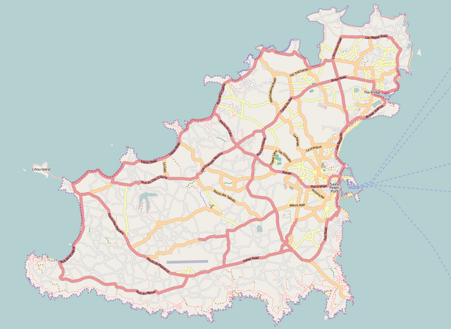
English: Map of Guernsey
Geographic limits of the map:
Dit bestand is gelicenseerd onder de Creative Commons-licentie Naamsvermelding-Gelijk delen 2.0 Unported
|
| Bron | Maps for Free/OpenStreetMap |
| Auteur | Dr. Blofeld |
Bestandsgeschiedenis
Klik op een datum/tijd om het bestand te zien zoals het destijds was.
| Datum/tijd | Miniatuur | Afmetingen | Gebruiker | Opmerking | |
|---|---|---|---|---|---|
| huidige versie | 3 sep 2011 18:18 | | 1.175 × 855 (465 kB) | Blofeld Dr. | {{Information |Description ={{en|1=l}} |Source =l |Author =l |Date =l |Permission = |other_versions = }} |
Bestandsgebruik
Dit bestand wordt op de volgende pagina gebruikt:
Globaal bestandsgebruik
De volgende andere wiki's gebruiken dit bestand:
- Gebruikt op ar.wikipedia.org
- Gebruikt op bg.wikipedia.org
- Gebruikt op ceb.wikipedia.org
- Plantilya:Location map United Kingdom Guernsey
- North Beach
- South Beach
- Black Rock
- Spur Point
- Conchée
- Guernsey
- Baleine
- Les Dents
- Forest
- Saint-Martin (pagklaro)
- La Forêt
- Red Rock
- Gull Rock
- Cobo Bay
- Saint Pierre
- St. Martin
- Point Robert
- Oyster Rock
- Mount Hubert
- Mount Hale
- Les Jumelles
- Cambridge Park
- Channel Islands
- Lion Rock
- Pot Bay
- Ladies Bay
- Telegraph Bay
- Cats Bay
- Castel
- Vale
- Hogsback
- Le Gouffre
- Le Gros Rocher
- Lihou Island
- Saint Martin (pagklaro)
- La Platte
- Goulet
- La Vieille
- Corbet
- St. Sampson
- St. Andrew
- Saint-Sauveur (pagklaro)
- Le Perron (pagklaro)
- La Tour (pagklaro)
- Rousset (pagklaro)
- La Corbière (pagklaro)
Globaal gebruik van dit bestand bekijken.