
Bestand:Map NL - Druten - Horssen.png
Geen hogere resolutie beschikbaar.
Map_NL_-_Druten_-_Horssen.png (800 × 600 pixels, bestandsgrootte: 245 kB, MIME-type: image/png)
| Dit is een bestand van Wikimedia Commons. Onderstaande beschrijving komt van de beschrijving van het bestand daar. |
Beschrijving
| Beschrijving |
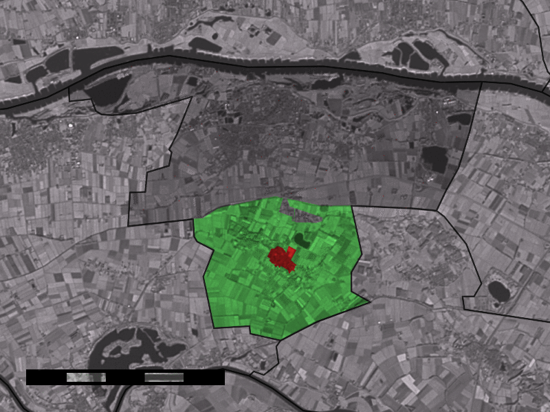
English: Map of Horssen, municipality of Druten, the Netherlands. |
|||
| Bron | Satellite image: Landsat 7 (public domain). | |||
| Auteur | user:Eugene van der Pijll | |||
| Toestemming (Hergebruik van dit bestand) |
|

Bestandsgeschiedenis
Klik op een datum/tijd om het bestand te zien zoals het destijds was.
| Datum/tijd | Miniatuur | Afmetingen | Gebruiker | Opmerking | |
|---|---|---|---|---|---|
| huidige versie | 3 jul 2006 22:08 | | 800 × 600 (245 kB) | Eugene van der Pijll | Map of Horssen, municipality of Druten, the Netherlands. Satellite image: Landsat 7 (public domain). {{Statistics Netherlands map}} Category:Maps of Gelderland |
Bestandsgebruik
Dit bestand wordt op de volgende pagina gebruikt:
Globaal bestandsgebruik
De volgende andere wiki's gebruiken dit bestand: