
Bestand:Map of 1971 Indonesian Legislative Election - Cities and Regencies.svg

Afmetingen van deze voorvertoning van het type PNG van dit SVG-bestand: 800 × 294 pixels Andere resoluties: 320 × 118 pixels | 640 × 235 pixels | 1.024 × 377 pixels | 1.280 × 471 pixels | 2.560 × 942 pixels.
Oorspronkelijk bestand (SVG-bestand, nominaal 1.631 × 600 pixels, bestandsgrootte: 670 kB)
| Dit is een bestand van Wikimedia Commons. Onderstaande beschrijving komt van de beschrijving van het bestand daar. |
Beschrijving
| Beschrijving |
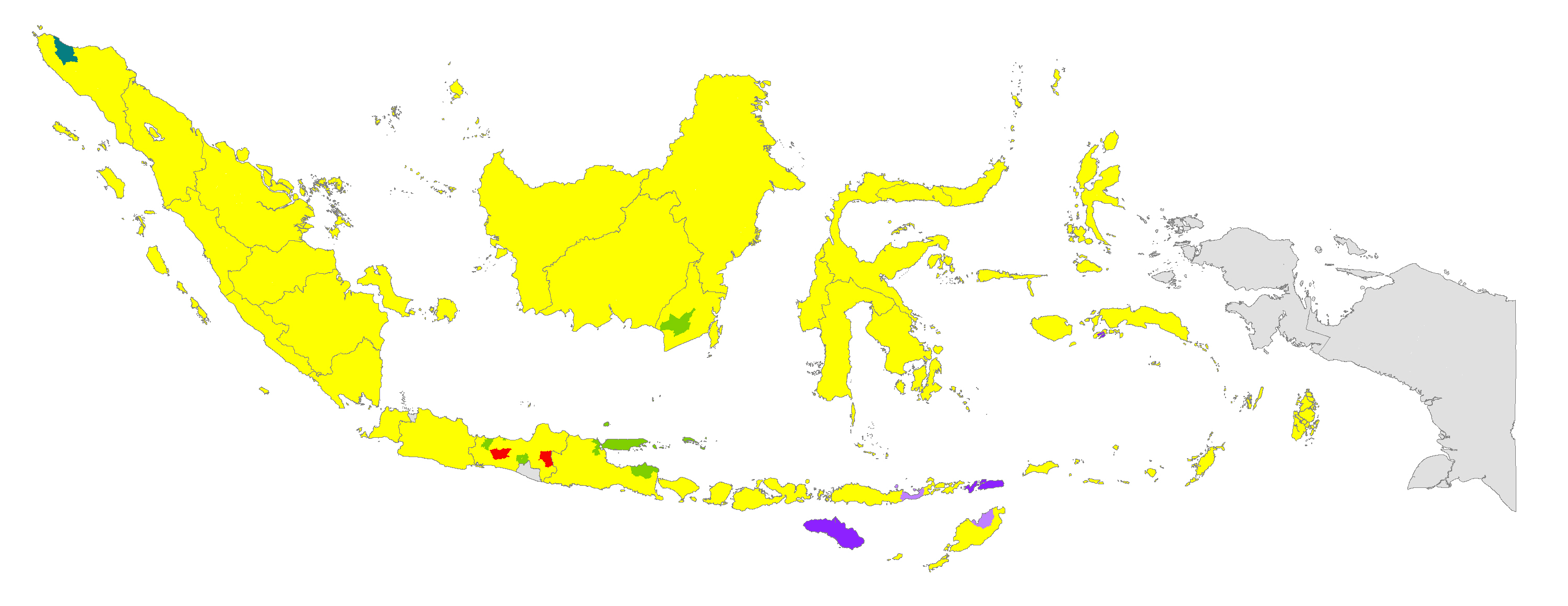
English: A map of 1971 Indonesian Legislative Election in different cities and regencies of Indonesia. The map is the original result of the election, prior to the fusion of political parties in 1973. |
| Datum | |
| Bron | http://www.pemilu.asia/images/map_chart/kabkot_1971.gif |
| Auteur | Vectorisering: Jeromi Mikhael |
| SVG ontwikkeling | De broncode van dit SVG-bestand is deugdelijk. Deze kaart is gemaakt met een onbekende SVG-editor |
Licentie
Ik, de auteursrechthebbende van dit werk, maak het hierbij onder de volgende licentie beschikbaar:
Dit bestand is gelicenseerd onder de Creative Commons Naamsvermelding-GelijkDelen 4.0 Internationaal licentie.
- De gebruiker mag:
- Delen – het werk kopiëren, verspreiden en doorgeven
- Remixen – afgeleide werken maken
- Onder de volgende voorwaarden:
- naamsvermelding – U moet op een gepaste manier aan naamsvermelding doen, een link naar de licentie geven, en aangeven of er wijzigingen in het werk zijn aangebracht. U mag dit op elke redelijke manier doen, maar niet zodanig dat de indruk wordt gewekt dat de licentiegever instemt met uw werk of uw gebruik van zijn werk.
- Gelijk delen – Als u het werk heeft geremixt, veranderd, of erop heeft voortgebouwd, moet u het gewijzigde materiaal verspreiden onder dezelfde licentie als het oorspronkelijke werk, of een daarmee compatibele licentie.
Bestandsgeschiedenis
Klik op een datum/tijd om het bestand te zien zoals het destijds was.
| Datum/tijd | Miniatuur | Afmetingen | Gebruiker | Opmerking | |
|---|---|---|---|---|---|
| huidige versie | 12 apr 2020 17:47 | 1.631 × 600 (670 kB) | Jeromi Mikhael | fix | |
| 7 jun 2019 09:31 | 1.631 × 600 (670 kB) | Jeromi Mikhael | =={{int:filedesc}}== {{Information |description={{en|1=A map of 1971 Indonesian Legislative Election in different cities and regencies of Indonesia. The map is the original result of the election, prior to the fusion of political parties in 1973.}} |date=2019-06-07 |source=http://www.pemilu.asia/images/map_chart/kabkot_1971.gif |author={{author|Vectorization|{{U|Jeromi Mikhael}}}} |permission= |other versions= }} =={{int:license-header}}== {{self|cc-by-sa-4.0}} [[Category:Election maps of I... |
Bestandsgebruik
Dit bestand wordt op de volgende pagina gebruikt:
Globaal bestandsgebruik
De volgende andere wiki's gebruiken dit bestand:
- Gebruikt op en.wikipedia.org
- Gebruikt op id.wikipedia.org
- Gebruikt op zh.wikipedia.org