
Bestand:Relief map of Spain Balearic Islands.png
Grootte van deze voorvertoning: 800 × 522 pixels. Andere resoluties: 320 × 209 pixels | 640 × 417 pixels | 1.024 × 668 pixels | 1.280 × 835 pixels | 2.332 × 1.521 pixels.
Oorspronkelijk bestand (2.332 × 1.521 pixels, bestandsgrootte: 792 kB, MIME-type: image/png)
| Dit is een bestand van Wikimedia Commons. Onderstaande beschrijving komt van de beschrijving van het bestand daar. |
Beschrijving
| Beschrijving |
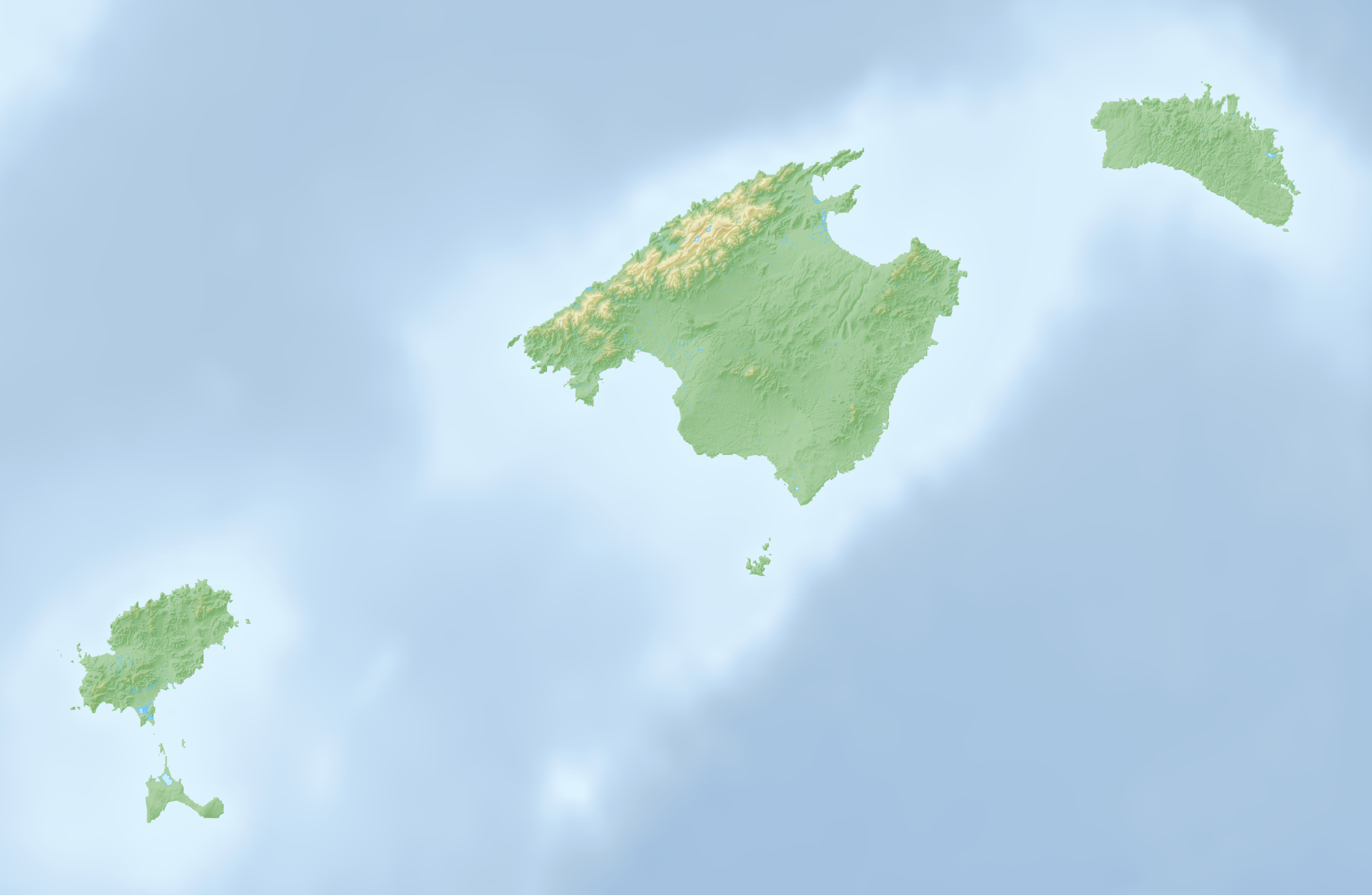
Deutsch: Reliefkarte der Balearischen Inseln |
| Datum | |
| Bron | Eigen werk, Topographischer Hintergrund: NASA Shuttle Radar Topography Mission (public domain). SRTM3 v.2. |
| Auteur | Tschubby |
Licentie
Ik, de auteursrechthebbende van dit werk, maak het hierbij onder de volgende licenties beschikbaar:

|
Toestemming wordt verleend voor het kopiëren, verspreiden en/of wijzigen van dit document onder de voorwaarden van de GNU-licentie voor vrije documentatie, versie 1.2 of enige latere versie als gepubliceerd door de Free Software Foundation; zonder Invariant Sections, zonder Front-Cover Texts, en zonder Back-Cover Texts. Een kopie van de licentie is opgenomen in de sectie GNU-licentie voor vrije documentatie. |
Dit bestand is gelicenseerd onder de Creative Commons-licenties Naamsvermelding-Gelijk delen 3.0 Unported, 2.5 Algemeen, 2.0 Algemeen en 1.0 Algemeen.
- De gebruiker mag:
- Delen – het werk kopiëren, verspreiden en doorgeven
- Remixen – afgeleide werken maken
- Onder de volgende voorwaarden:
- naamsvermelding – U moet op een gepaste manier aan naamsvermelding doen, een link naar de licentie geven, en aangeven of er wijzigingen in het werk zijn aangebracht. U mag dit op elke redelijke manier doen, maar niet zodanig dat de indruk wordt gewekt dat de licentiegever instemt met uw werk of uw gebruik van zijn werk.
- Gelijk delen – Als u het werk heeft geremixt, veranderd, of erop heeft voortgebouwd, moet u het gewijzigde materiaal verspreiden onder dezelfde licentie als het oorspronkelijke werk, of een daarmee compatibele licentie.
U mag zelf één van de licenties kiezen.
Bestandsgeschiedenis
Klik op een datum/tijd om het bestand te zien zoals het destijds was.
| Datum/tijd | Miniatuur | Afmetingen | Gebruiker | Opmerking | |
|---|---|---|---|---|---|
| huidige versie | 7 apr 2022 18:07 | | 2.332 × 1.521 (792 kB) | Tschubby | == {{int:filedesc}} == {{Information |Description={{de|Reliefkarte der Balearischen Inseln}} |Source={{own}}, Hintergrund: [http://www.openstreetmap.org Openstreetmap] |Date=2022-04-07 |Author=Tschubby |Permission= |other_versions= }} == {{int:license-header}} == {{self|GFDL|cc-by-sa-3.0,2.5,2.0,1.0}} Category:Maps of the Balearic Islands Category:Location maps of the Balearic Islands |
Bestandsgebruik
Dit bestand wordt op de volgende 5 pagina's gebruikt:
Globaal bestandsgebruik
De volgende andere wiki's gebruiken dit bestand:
- Gebruikt op de.wikipedia.org
- Pityusen
- Sa Dragonera
- Ses Païsses
- Cala Tuent
- Cala Morlanda
- S’Arenal de Sa Canova
- Es Ribell
- Cala Torta
- Cala Varques
- Cala Agulla
- Cala Moltó
- Cala Son Moll
- Cala Mesquida
- Platja de Canyamel
- Espalmador
- Puig Major
- Puig de Massanella
- Torralba d’en Salord
- Torre d’en Galmés
- Cala Vadella
- Es Vedrà
- Cala Carbo
- Cala des Matzoc
- Cala Mitjana (Artà)
- Cala Estreta
- Sa Font Celada
- Estany Pudent
- S’Arenalet des Verger
- Talaiotische Siedlung von Capocorb Vell
- Es Pantaleu
- Cala Gat
- Talatí de Dalt
- Platja de Son Real
- Platja des Caragol
- Talaiotische Siedlung von Sa Canova
- Cala Nau
- Son Fornés
- Prähistorisches Dorf von S’Hospitalet Vell
- Puig de Randa
- Platja de sa Marjal
- Cala Millor (Arenal de Son Servera)
- Cala Millor (Platja de Sant Llorenç)
- Son Moro (Platja de Sant Llorenç)
- Talaiotische Siedlung von S’Illot
- Son Catlar
- Wikipedia:Kartenwerkstatt/Positionskarten/Europa
- Caló d’en Rafalino
- Faraió d’Aubarca
- Torre des Matzoc
- Castell de sa Punta de n’Amer
Globaal gebruik van dit bestand bekijken.