
Bestand:Sri Lanka North Eastern Province locator map.svg

Afmetingen van deze voorvertoning van het type PNG van dit SVG-bestand: 463 × 599 pixels Andere resoluties: 185 × 240 pixels | 371 × 480 pixels | 593 × 768 pixels | 791 × 1.024 pixels | 1.582 × 2.048 pixels | 612 × 792 pixels.
Oorspronkelijk bestand (SVG-bestand, nominaal 612 × 792 pixels, bestandsgrootte: 393 kB)
| Dit is een bestand van Wikimedia Commons. Onderstaande beschrijving komt van de beschrijving van het bestand daar. |
Dit bestand is gelicenseerd onder de Creative Commons-licentie Naamsvermelding-Gelijk delen 2.5 Unported
- De gebruiker mag:
- Delen – het werk kopiëren, verspreiden en doorgeven
- Remixen – afgeleide werken maken
- Onder de volgende voorwaarden:
- naamsvermelding – U moet op een gepaste manier aan naamsvermelding doen, een link naar de licentie geven, en aangeven of er wijzigingen in het werk zijn aangebracht. U mag dit op elke redelijke manier doen, maar niet zodanig dat de indruk wordt gewekt dat de licentiegever instemt met uw werk of uw gebruik van zijn werk.
- Gelijk delen – Als u het werk heeft geremixt, veranderd, of erop heeft voortgebouwd, moet u het gewijzigde materiaal verspreiden onder dezelfde licentie als het oorspronkelijke werk, of een daarmee compatibele licentie.
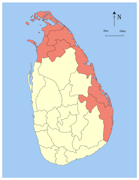
| Beschrijving | Locator maps of the provinces Sri Lanka. This one is a former province (until 2007). |
| Datum | 07/08/05 |
| Bron | Based on the district locator maps of Sri Lanka by User:Trengarasu (example), who are licensed into the Public Domain. Colors used from the svg-locator maps of India (example). |
| Auteur | User:Jeroen |
| Toestemming (Hergebruik van dit bestand) |
Public Domain |
Bestandsgeschiedenis
Klik op een datum/tijd om het bestand te zien zoals het destijds was.
| Datum/tijd | Miniatuur | Afmetingen | Gebruiker | Opmerking | |
|---|---|---|---|---|---|
| huidige versie | 5 aug 2007 17:50 | | 612 × 792 (393 kB) | Jeroen | {{cc-by-sa-2.5}} {{Information |Description= Locator maps of the provinces Sri Lanka. This one is a former province (until 2007). |Source= Based on the district locator maps of Sri Lanka by User:Trengarasu ([[:Image:Mat |
Bestandsgebruik
Dit bestand wordt op de volgende 2 pagina's gebruikt:
Globaal bestandsgebruik
De volgende andere wiki's gebruiken dit bestand:
- Gebruikt op ar.wikipedia.org
- Gebruikt op bn.wikipedia.org
- Gebruikt op de.wikipedia.org
- Gebruikt op en.wikipedia.org
- Gebruikt op fa.wikipedia.org
- Gebruikt op fr.wikinews.org
- Gebruikt op it.wikipedia.org
- Gebruikt op ja.wikipedia.org
- Gebruikt op ko.wikipedia.org
- Gebruikt op pl.wikipedia.org
- Gebruikt op sat.wikipedia.org
- Gebruikt op si.wikipedia.org
- Gebruikt op sv.wikipedia.org
- Gebruikt op ta.wikipedia.org
- Gebruikt op ta.wikinews.org
- Gebruikt op th.wikipedia.org
- Gebruikt op uk.wikipedia.org
- Gebruikt op zh.wikipedia.org