
Bestand:Tangier Zone txu-oclc-6949452-ni30-1.jpg

Grootte van deze voorvertoning: 410 × 599 pixels. Andere resoluties: 164 × 240 pixels | 329 × 480 pixels | 949 × 1.386 pixels.
Oorspronkelijk bestand (949 × 1.386 pixels, bestandsgrootte: 1,2 MB, MIME-type: image/jpeg)
| Dit is een bestand van Wikimedia Commons. Onderstaande beschrijving komt van de beschrijving van het bestand daar. |
Beschrijving
| Beschrijving |
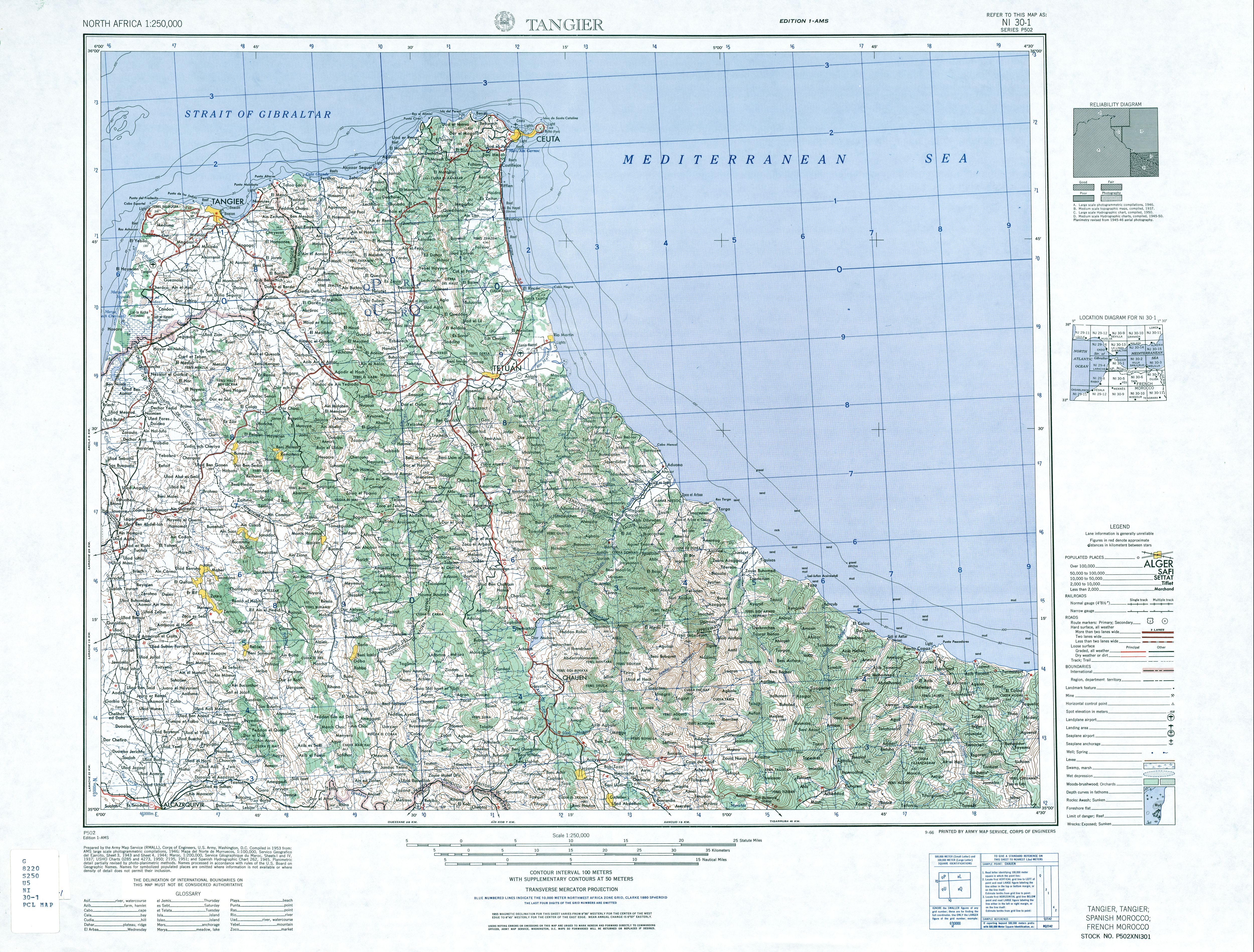
English: map of the area of the former International Zone of Tangier, Morocco |
| Datum | |
| Bron | http://www.lib.utexas.edu/maps/ams/north_africa/txu-oclc-6949452-ni30-1.jpg |
| Auteur | Army Map Service |
Licentie
Deze afbeelding is een werk van een soldaat of werknemer van de U.S. Army, genomen of gemaakt tijdens de uitvoering van diens officiële taken. Als werk van de federale overheid van de Verenigde Staten bevindt deze afbeelding zich in het publiek domein.
|
 |
-
Bestandsgeschiedenis
Klik op een datum/tijd om het bestand te zien zoals het destijds was.
| Datum/tijd | Miniatuur | Afmetingen | Gebruiker | Opmerking | |
|---|---|---|---|---|---|
| huidige versie | 29 nov 2017 09:14 | | 949 × 1.386 (1,2 MB) | ديفيد عادل وهبة خليل 2 | Removed border by cropping 3 % horizontally and 2 % vertically using CropTool with precise mode. |
| 6 jun 2010 21:40 |  | 976 × 1.419 (1,26 MB) | Ratzer | {{Information |Description={{en|1=map of the area of the former International Zone of Tangier, Morocco}} |Source=http://www.lib.utexas.edu/maps/ams/north_africa/txu-oclc-6949452-ni30-1.jpg |Author=Army Map Service |Date=1953 |Permission= |other_versions= |
Bestandsgebruik
Dit bestand wordt op de volgende pagina gebruikt:
Globaal bestandsgebruik
De volgende andere wiki's gebruiken dit bestand:
- Gebruikt op ar.wikipedia.org
- Gebruikt op br.wikipedia.org
- Gebruikt op de.wikipedia.org
- Gebruikt op en.wikipedia.org
- Gebruikt op fr.wikipedia.org
- Gebruikt op id.wikipedia.org
- Gebruikt op it.wikipedia.org
- Gebruikt op ja.wikipedia.org
- Gebruikt op pl.wikipedia.org
- Gebruikt op pt.wikipedia.org
- Gebruikt op ru.wikipedia.org
- Gebruikt op simple.wikipedia.org
- Gebruikt op uk.wikipedia.org
- Gebruikt op ur.wikipedia.org
- Gebruikt op zh.wikipedia.org