
Bestand:Windmill Hill from the White Horse Trail, Winterbourne Monkton - geograph.org.uk - 1010976.jpg
Geen hogere resolutie beschikbaar.
Windmill_Hill_from_the_White_Horse_Trail,_Winterbourne_Monkton_-_geograph.org.uk_-_1010976.jpg (640 × 480 pixels, bestandsgrootte: 107 kB, MIME-type: image/jpeg)
| Dit is een bestand van Wikimedia Commons. Onderstaande beschrijving komt van de beschrijving van het bestand daar. |
Beschrijving
| Beschrijving |
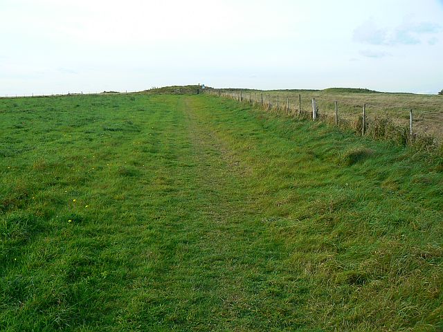
English: Windmill Hill from the White Horse Trail, Winterbourne Monkton The trail is a bridleway on this stretch and is one of three main routes to the hill. |
| Datum | |
| Bron | From geograph.org.uk |
| Auteur | Brian Robert Marshall |
| Naamsvermelding (required by the license) | Brian Robert Marshall / Windmill Hill from the White Horse Trail, Winterbourne Monkton / |
| Cameralocatie | | Deze en andere afbeeldingen in: OpenStreetMap |
|---|
_heading:292.00&language=nl)
| Objectlocatie | | Deze en andere afbeeldingen in: OpenStreetMap |
|---|
_heading:292.00&language=nl)
Licentie

|
Deze afbeelding komt uit de Geograph British Isles-collectie. Zie de pagina van deze foto op de website van Geograph voor contactinformatie van de fotograaf. Het auteursrecht van deze foto is in handen van Brian Robert Marshall en de foto is gelicenceerd voor hergebruik onder de Creative Commons Naamsvermelding-Gelijk delen 2.0 licentie.
|
Dit bestand is gelicenseerd onder de Creative Commons-licentie Naamsvermelding-Gelijk delen 2.0 Unported
Naamsvermelding: Brian Robert Marshall
- De gebruiker mag:
- Delen – het werk kopiëren, verspreiden en doorgeven
- Remixen – afgeleide werken maken
- Onder de volgende voorwaarden:
- naamsvermelding – U moet op een gepaste manier aan naamsvermelding doen, een link naar de licentie geven, en aangeven of er wijzigingen in het werk zijn aangebracht. U mag dit op elke redelijke manier doen, maar niet zodanig dat de indruk wordt gewekt dat de licentiegever instemt met uw werk of uw gebruik van zijn werk.
- Gelijk delen – Als u het werk heeft geremixt, veranderd, of erop heeft voortgebouwd, moet u het gewijzigde materiaal verspreiden onder dezelfde licentie als het oorspronkelijke werk, of een daarmee compatibele licentie.
Bestandsgeschiedenis
Klik op een datum/tijd om het bestand te zien zoals het destijds was.
| Datum/tijd | Miniatuur | Afmetingen | Gebruiker | Opmerking | |
|---|---|---|---|---|---|
| huidige versie | 23 feb 2011 14:35 | | 640 × 480 (107 kB) | GeographBot | == {{int:filedesc}} == {{Information |description={{en|1=Windmill Hill from the White Horse Trail, Winterbourne Monkton The trail is a bridleway on this stretch and is one of three main routes to the hill.}} |date=2008-10-17 |source=From [http://www.geogr |
Bestandsgebruik
Dit bestand wordt op de volgende pagina gebruikt:
Globaal bestandsgebruik
De volgende andere wiki's gebruiken dit bestand:
- Gebruikt op ca.wikipedia.org
- Gebruikt op ceb.wikipedia.org
- Gebruikt op en.wikipedia.org
- Gebruikt op fr.wikipedia.org
- Gebruikt op fr.wikivoyage.org
- Gebruikt op it.wikipedia.org
- Gebruikt op lfn.wikipedia.org
- Gebruikt op sv.wikipedia.org
- Gebruikt op www.wikidata.org
- Gebruikt op zh.wikipedia.org