
Bestand:Amargosa Desert map.gif
Geen hogere resolutie beschikbaar.
Amargosa_Desert_map.gif (380 × 271 pixels, bestandsgrootte: 18 kB, MIME-type: image/gif, 0,2 s)
| Dit is een bestand van Wikimedia Commons. Onderstaande beschrijving komt van de beschrijving van het bestand daar. |
Beschrijving
| Beschrijving |
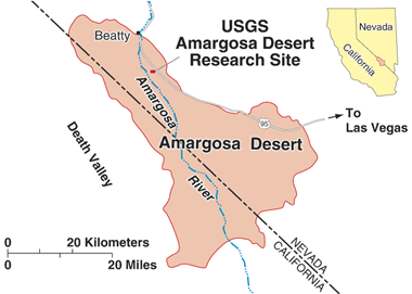
English: Map of the Amargosa Desert |
| Datum | Datum onbekend |
| Bron | http://toxics.usgs.gov/pubs/agu_poster/ |
| Auteur | USGS (American government) |
Licentie
Deze afbeelding bevindt zich in het publiek domein omdat het materiaal bevat dat oorspronkelijk afkomstig is van de United States Geological Survey, een agentschap van de United States Department of the Interior. Voor meer informatie, zie het officiële USGS-auteursrechtenbeleid
|
Bestandsgeschiedenis
Klik op een datum/tijd om het bestand te zien zoals het destijds was.
| Datum/tijd | Miniatuur | Afmetingen | Gebruiker | Opmerking | |
|---|---|---|---|---|---|
| huidige versie | 15 jul 2015 09:27 | | 380 × 271 (18 kB) | Tristan Surtel | User created page with UploadWizard |
Bestandsgebruik
Dit bestand wordt op de volgende pagina gebruikt: