
Bestand:Bahamas location map.svg

Afmetingen van deze voorvertoning van het type PNG van dit SVG-bestand: 800 × 577 pixels Andere resoluties: 320 × 231 pixels | 640 × 461 pixels | 1.024 × 738 pixels | 1.280 × 923 pixels | 2.560 × 1.846 pixels | 1.559 × 1.124 pixels.
Oorspronkelijk bestand (SVG-bestand, nominaal 1.559 × 1.124 pixels, bestandsgrootte: 383 kB)
| Dit is een bestand van Wikimedia Commons. Onderstaande beschrijving komt van de beschrijving van het bestand daar. |
Beschrijving

|
Deze kaart is gemaakt of verbeterd in de Duitse Kartenwerkstatt (Map Lab). Je kunt ook zelf kaarten ter verbetering voorstellen.
|
Licentie
Ik, de auteursrechthebbende van dit werk, maak het hierbij onder de volgende licenties beschikbaar:

|
Toestemming wordt verleend voor het kopiëren, verspreiden en/of wijzigen van dit document onder de voorwaarden van de GNU-licentie voor vrije documentatie, versie 1.2 of enige latere versie als gepubliceerd door de Free Software Foundation; zonder Invariant Sections, zonder Front-Cover Texts, en zonder Back-Cover Texts. Een kopie van de licentie is opgenomen in de sectie GNU-licentie voor vrije documentatie. |
Dit bestand is gelicenseerd onder de Creative Commons-licentie Naamsvermelding-Gelijk delen 3.0 Unported
- De gebruiker mag:
- Delen – het werk kopiëren, verspreiden en doorgeven
- Remixen – afgeleide werken maken
- Onder de volgende voorwaarden:
- naamsvermelding – U moet op een gepaste manier aan naamsvermelding doen, een link naar de licentie geven, en aangeven of er wijzigingen in het werk zijn aangebracht. U mag dit op elke redelijke manier doen, maar niet zodanig dat de indruk wordt gewekt dat de licentiegever instemt met uw werk of uw gebruik van zijn werk.
- Gelijk delen – Als u het werk heeft geremixt, veranderd, of erop heeft voortgebouwd, moet u het gewijzigde materiaal verspreiden onder dezelfde licentie als het oorspronkelijke werk, of een daarmee compatibele licentie.
U mag zelf één van de licenties kiezen.
Bestandsgeschiedenis
Klik op een datum/tijd om het bestand te zien zoals het destijds was.
| Datum/tijd | Miniatuur | Afmetingen | Gebruiker | Opmerking | |
|---|---|---|---|---|---|
| huidige versie | 15 apr 2011 19:31 | | 1.559 × 1.124 (383 kB) | NordNordWest | upd |
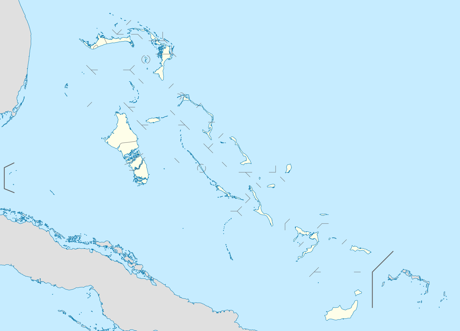
| 23 okt 2008 21:17 |  | 1.560 × 1.125 (549 kB) | NordNordWest | {{Information |Description= {{de|Positionskarte der Bahamas}} Quadratische Plattkarte, N-S-Streckung 105 %. Geographische Begrenzung der Karte: * N: 27.5° N * S: 20.7° N * W: 80.7° W * O: 70.8° W {{en|Location map of [[:en:The Bahamas| |
Bestandsgebruik
Dit bestand wordt op de volgende 28 pagina's gebruikt:
- Acklins
- Berry Islands
- Bimini
- Cat Island
- Central Andros
- Coopers Town
- Crooked Island
- Exuma
- Freeport (Bahama's)
- Freetown (Bahama's)
- Grand Bahama International Airport
- Harbour Island (Bahama's)
- Inagua
- Long Island (Bahama's)
- Lynden Pindling International Airport
- Marsh Harbour
- Matthew Town
- Mayaguana
- Moore's Island
- Nassau (Bahama's)
- New Providence (Bahama's)
- Norman's Cay
- Rum Cay
- San Salvador (Bahama's)
- Spanish Wells
- Thomas Robinsonstadion
- Voetbal in Latijns-Amerika
- Sjabloon:Positiekaart Bahama's
Globaal bestandsgebruik
De volgende andere wiki's gebruiken dit bestand:
- Gebruikt op af.wikipedia.org
- Gebruikt op als.wikipedia.org
- Gebruikt op an.wikipedia.org
- Gebruikt op ar.wikipedia.org
- Gebruikt op ast.wikipedia.org
- Gebruikt op az.wikipedia.org
- Gebruikt op ba.wikipedia.org
- Gebruikt op be.wikipedia.org
- Gebruikt op bg.wikipedia.org
- Gebruikt op bn.wikipedia.org
- Gebruikt op bs.wikipedia.org
- Gebruikt op ceb.wikipedia.org
- Bahamas
- Plantilya:Location map Bahamas
- White Cliff
- South Point
- Pelican Point
- Palmetto Point
- Old Fort Point
- Long Island
- Long Bay
- Lobster Island
- James Point
- Hog Point
- High Point
- Goat Island
- Middle Ground
- North Point
- Castle Rock
- West Point
- West Cay
- Sandy Point
- Long Rock
- Little Island
- Black Point
- San Salvador
- North Beach
- Bell Island
Globaal gebruik van dit bestand bekijken.