
Bestand:Cohrs atlas över Sverige 0018 Stockholm archipelago.jpg
Oorspronkelijk bestand (3.164 × 4.125 pixels, bestandsgrootte: 4,19 MB, MIME-type: image/jpeg)
| Dit is een bestand van Wikimedia Commons. Onderstaande beschrijving komt van de beschrijving van het bestand daar. |
| Beschrijving |
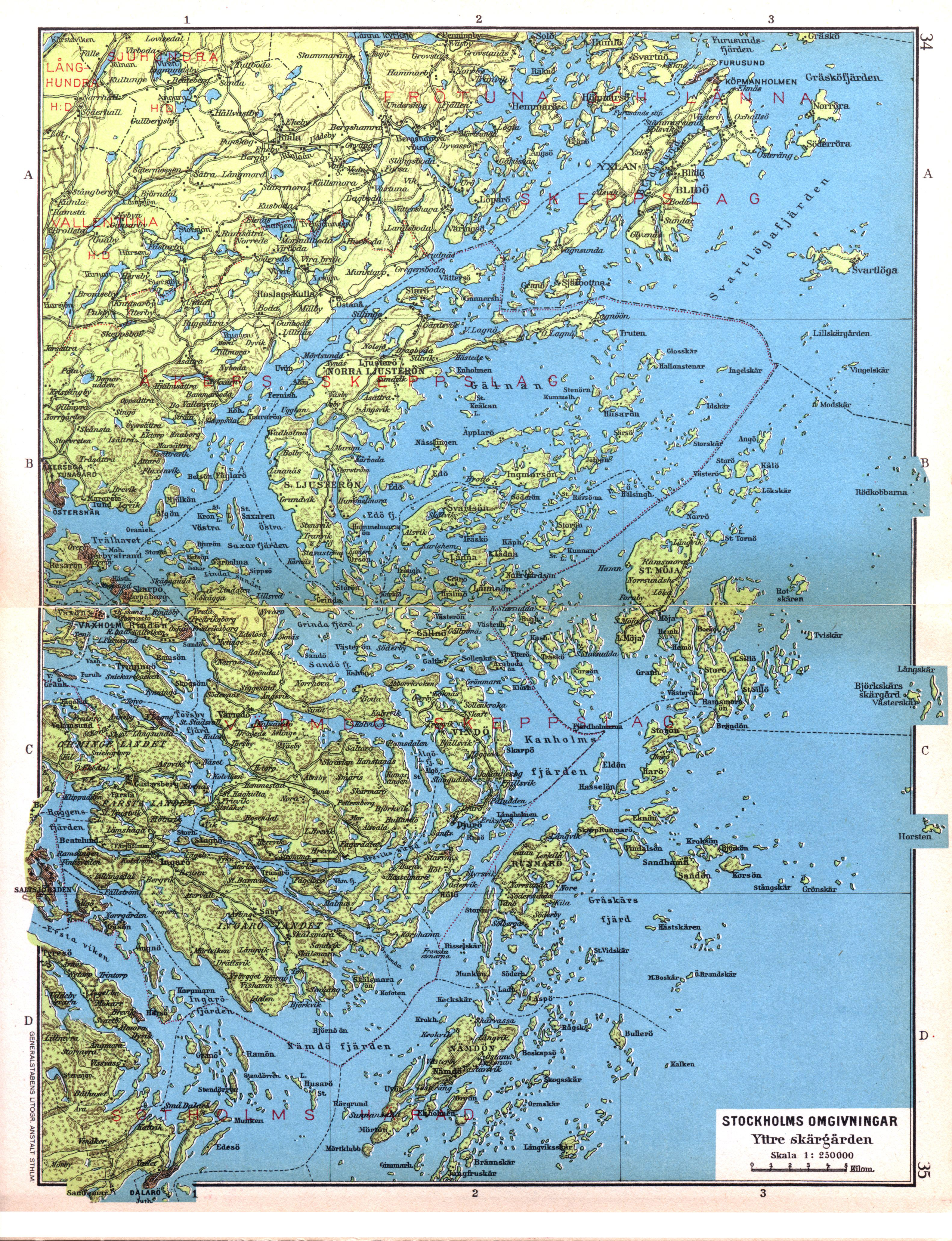
English: Map of Stockholm archipelago in Sweden.
Svenska: Karta över Stockholms yttre skärgård. |
||||
| Datum | |||||
| Bron | Cohrs atlas över Sverige (1928), p. 34-35, as scanned in 400 dpi for Project Runeberg | ||||
| Auteur | Cartographer Edvard Cohrs (1858-1934). Scanned by LA2 | ||||
| Toestemming (Hergebruik van dit bestand) |
|
||||
Bestandsgeschiedenis
Klik op een datum/tijd om het bestand te zien zoals het destijds was.
| Datum/tijd | Miniatuur | Afmetingen | Gebruiker | Opmerking | |
|---|---|---|---|---|---|
| huidige versie | 13 jan 2010 00:07 | | 3.164 × 4.125 (4,19 MB) | Lidingo | The separate pages moved closer together. |
| 12 nov 2009 03:02 |  | 3.164 × 4.125 (3,14 MB) | LA2 | {{Information |Description={{en|1=Map of Stockholm archipelago in Sweden.}} {{sv|1=Karta över Stockholms yttre skärgård.}} |Source=[http://runeberg.org/svcohrs/0018.html Cohrs atlas över Sverige (1928), p. 34-35], as scanned in 400 dpi for Project Run |
Bestandsgebruik
Dit bestand wordt op de volgende pagina gebruikt:
Globaal bestandsgebruik
De volgende andere wiki's gebruiken dit bestand:
- Gebruikt op be-tarask.wikipedia.org
- Gebruikt op ca.wikipedia.org
- Gebruikt op es.wikipedia.org
- Gebruikt op nn.wikipedia.org
- Gebruikt op no.wikipedia.org
- Gebruikt op ru.wikipedia.org