
Bestand:Curaçao location map.svg

Afmetingen van deze voorvertoning van het type PNG van dit SVG-bestand: 587 × 600 pixels Andere resoluties: 235 × 240 pixels | 470 × 480 pixels | 751 × 768 pixels | 1.002 × 1.024 pixels | 2.004 × 2.048 pixels | 994 × 1.016 pixels.
Oorspronkelijk bestand (SVG-bestand, nominaal 994 × 1.016 pixels, bestandsgrootte: 88 kB)
| Dit is een bestand van Wikimedia Commons. Onderstaande beschrijving komt van de beschrijving van het bestand daar. |
Beschrijving
| Beschrijving |
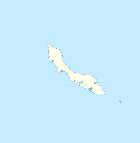
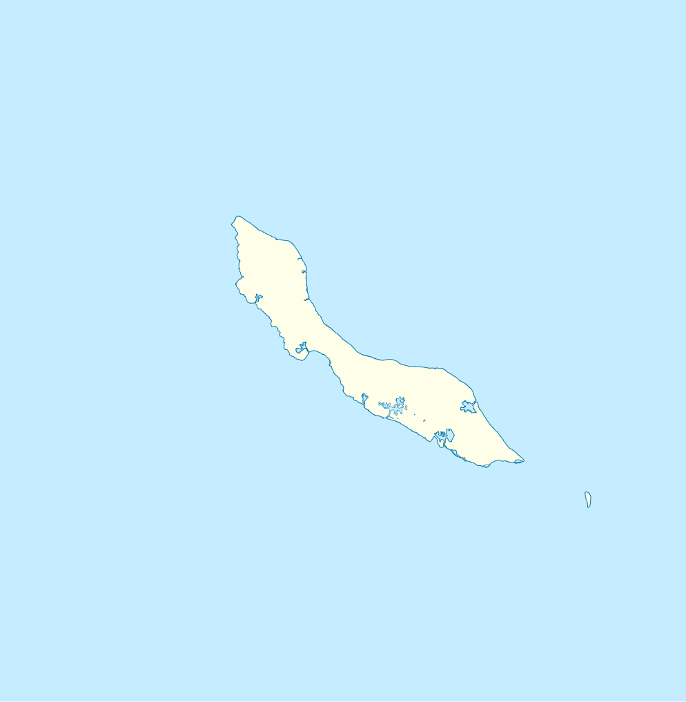
English: Blank administrative map of Curaçao
Français : Carte administrative vierge de Curaçao
|
| Datum | 18:29 |
| Bron | http://openstreetmap.fr/ |
| Auteur | Xfigpower (pssst), 24 February 2011 (UTC) |
| SVG ontwikkeling | De broncode van dit SVG-bestand is deugdelijk. |
Licentie
Ik, de auteursrechthebbende van dit werk, maak het hierbij onder de volgende licenties beschikbaar:

|
Toestemming wordt verleend voor het kopiëren, verspreiden en/of wijzigen van dit document onder de voorwaarden van de GNU-licentie voor vrije documentatie, versie 1.2 of enige latere versie als gepubliceerd door de Free Software Foundation; zonder Invariant Sections, zonder Front-Cover Texts, en zonder Back-Cover Texts. Een kopie van de licentie is opgenomen in de sectie GNU-licentie voor vrije documentatie. |
Dit bestand is gelicenseerd onder de Creative Commons-licentie Naamsvermelding 3.0 Unported
- De gebruiker mag:
- Delen – het werk kopiëren, verspreiden en doorgeven
- Remixen – afgeleide werken maken
- Onder de volgende voorwaarden:
- naamsvermelding – U moet op een gepaste manier aan naamsvermelding doen, een link naar de licentie geven, en aangeven of er wijzigingen in het werk zijn aangebracht. U mag dit op elke redelijke manier doen, maar niet zodanig dat de indruk wordt gewekt dat de licentiegever instemt met uw werk of uw gebruik van zijn werk.
U mag zelf één van de licenties kiezen.
Bestandsgeschiedenis
Klik op een datum/tijd om het bestand te zien zoals het destijds was.
| Datum/tijd | Miniatuur | Afmetingen | Gebruiker | Opmerking | |
|---|---|---|---|---|---|
| huidige versie | 24 feb 2011 20:29 | | 994 × 1.016 (88 kB) | Xfigpower | {{Information |Description ={{en|1=Blank administrative map of Curaçao}} {{fr|1=Carte administrative vierge de Curaçao * N : 12.7° * S : 11,7° * O : -69,5° * E :-68.5}} |Source =http://openstreetmap.fr/ |Author =~~~~ |Date |
Bestandsgebruik
Dit bestand wordt op de volgende pagina gebruikt:
Globaal bestandsgebruik
De volgende andere wiki's gebruiken dit bestand:
- Gebruikt op af.wikipedia.org
- Gebruikt op an.wikipedia.org
- Gebruikt op ar.wikipedia.org
- Gebruikt op ast.wikipedia.org
- Gebruikt op be-tarask.wikipedia.org
- Gebruikt op bg.wikipedia.org
- Gebruikt op bn.wikipedia.org
- Gebruikt op bs.wikipedia.org
- Gebruikt op ceb.wikipedia.org
- Plantilya:Location map Curacao
- Nieuwpoort
- Santa Barbara
- Ceru Pretu
- Westpunt
- Ceru Grandi
- Noordpunt
- Seru Grandi
- Punta Blanku
- Tafelberg
- Newport
- Lagoen
- Punta Santa Barbara
- Leeward Point
- Punta Caballero
- Willemstad
- Boca Santa Cruz
- Penso
- Ser’i Palomba
- Negropont
- Meeuwtje
- Seru Kabayé
- Seru Zjeremi
- Zakitó
- Ser'i Yuana
- Willemstad (ulohang dakbayan)
- Willemberg
- Westpunt (punta sa Kurasaw)
- Waaigat
- Baai van Versali
- Veerisberg
- Seru Un Blachi
- Seru Tinta
- Tafelberg (Curaçao)
- Spaanse Water
- Spaanse Haven
- Sint Michielsberg
Globaal gebruik van dit bestand bekijken.