
Bestand:East Sussex UK relief location map.jpg

Grootte van deze voorvertoning: 800 × 521 pixels. Andere resoluties: 320 × 208 pixels | 640 × 417 pixels | 1.024 × 667 pixels | 1.280 × 834 pixels | 1.999 × 1.302 pixels.
Oorspronkelijk bestand (1.999 × 1.302 pixels, bestandsgrootte: 248 kB, MIME-type: image/jpeg)
| Dit is een bestand van Wikimedia Commons. Onderstaande beschrijving komt van de beschrijving van het bestand daar. |
| Beschrijving |
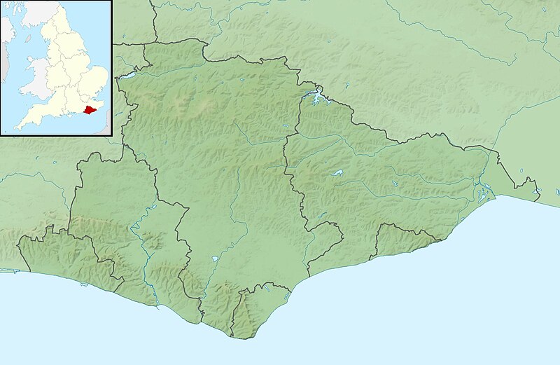
Relief map of East Sussex, UK. Equirectangular map projection on WGS 84 datum, with N/S stretched 155% Geographic limits:
|
| Datum | |
| Bron |
|
| Auteur | Nilfanion, created using Ordnance Survey data |
| Toestemming (Hergebruik van dit bestand) |
Dit bestand is gelicenseerd onder de Creative Commons-licentie Naamsvermelding-Gelijk delen 3.0 Unported Naamsvermelding: Contains Ordnance Survey data © Crown copyright and database right
|
| Andere versies | File:East Sussex UK district map (blank).svg - Blank map |
.svg)
Bestandsgeschiedenis
Klik op een datum/tijd om het bestand te zien zoals het destijds was.
| Datum/tijd | Miniatuur | Afmetingen | Gebruiker | Opmerking | |
|---|---|---|---|---|---|
| huidige versie | 29 nov 2011 03:33 | | 1.999 × 1.302 (248 kB) | Nilfanion | {{Information |Description=Relief map of East Sussex, UK. Equirectangular map projection on WGS 84 datum, with N/S stretched 155% Geographic limits: *West: 0.28W *East: 0.91E *North: 51.2N *South: 50.7N |Source=[[w:Ordnance Survey|Ordn |
Bestandsgebruik
Dit bestand wordt op de volgende pagina gebruikt:
Globaal bestandsgebruik
De volgende andere wiki's gebruiken dit bestand:
- Gebruikt op ar.wikipedia.org
- Gebruikt op bg.wikipedia.org
- Gebruikt op ceb.wikipedia.org
- Gebruikt op en.wikipedia.org
- Brighton
- Bateman's
- Darwell Reservoir
- Ditchling Beacon
- Brunswick, Hove
- Module:Location map/data/United Kingdom East Sussex/doc
- Powdermill Reservoir
- Newhaven Lifeboat Station
- Eastbourne Lifeboat Station
- Brighton Lifeboat Station
- Regency Town House
- Module:Location map/data/United Kingdom East Sussex
- Module:Location map/data/East Sussex
- Friston Forest
- St Leonards Pier
- Hastings Lifeboat Station
- Gebruikt op es.wikipedia.org
- Gebruikt op fr.wikipedia.org
- Gebruikt op ja.wikipedia.org
- Gebruikt op kn.wikipedia.org
- Gebruikt op la.wikipedia.org
- Gebruikt op lv.wikipedia.org
- Gebruikt op mk.wikipedia.org
- Gebruikt op os.wikipedia.org
- Gebruikt op pl.wikipedia.org
- Gebruikt op pl.wikibooks.org
Globaal gebruik van dit bestand bekijken.