
Bestand:East Timor location map 2003-2015.svg

Afmetingen van deze voorvertoning van het type PNG van dit SVG-bestand: 800 × 489 pixels Andere resoluties: 320 × 196 pixels | 640 × 391 pixels | 1.024 × 626 pixels | 1.280 × 783 pixels | 2.560 × 1.565 pixels | 1.701 × 1.040 pixels.
Oorspronkelijk bestand (SVG-bestand, nominaal 1.701 × 1.040 pixels, bestandsgrootte: 201 kB)
| Dit is een bestand van Wikimedia Commons. Onderstaande beschrijving komt van de beschrijving van het bestand daar. |
Beschrijving
| Beschrijving |
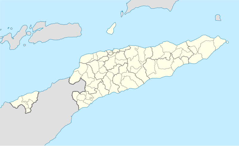
Deutsch: Positionskarte von Osttimor, Grenzen von 2003–2015
Quadratische Plattkarte. Geographische Begrenzung der Karte:
English: Location map of East Timor
Equirectangular projection. Geographic limits of the map:
|
||
| Datum | |||
| Bron |
Eigen werk using
|
||
| Auteur | NordNordWest | ||
| Andere versies |
East Timor relief location map.jpg:  Equivalent physical map Equivalent physical map |
||
| SVG ontwikkeling | De broncode van dit SVG-bestand is deugdelijk.
|

Licentie
Ik, de auteursrechthebbende van dit werk, maak het hierbij onder de volgende licenties beschikbaar:

|
Toestemming wordt verleend voor het kopiëren, verspreiden en/of wijzigen van dit document onder de voorwaarden van de GNU-licentie voor vrije documentatie, versie 1.2 of enige latere versie als gepubliceerd door de Free Software Foundation; zonder Invariant Sections, zonder Front-Cover Texts, en zonder Back-Cover Texts. Een kopie van de licentie is opgenomen in de sectie GNU-licentie voor vrije documentatie. |
Dit bestand is gelicenseerd onder de Creative Commons-licentie Naamsvermelding 3.0 Unported
- De gebruiker mag:
- Delen – het werk kopiëren, verspreiden en doorgeven
- Remixen – afgeleide werken maken
- Onder de volgende voorwaarden:
- naamsvermelding – U moet op een gepaste manier aan naamsvermelding doen, een link naar de licentie geven, en aangeven of er wijzigingen in het werk zijn aangebracht. U mag dit op elke redelijke manier doen, maar niet zodanig dat de indruk wordt gewekt dat de licentiegever instemt met uw werk of uw gebruik van zijn werk.
U mag zelf één van de licenties kiezen.
Bestandsgeschiedenis
Klik op een datum/tijd om het bestand te zien zoals het destijds was.
| Datum/tijd | Miniatuur | Afmetingen | Gebruiker | Opmerking | |
|---|---|---|---|---|---|
| huidige versie | 27 mei 2009 18:17 | | 1.701 × 1.040 (201 kB) | NordNordWest | completed |
| 25 mei 2009 18:19 |  | 1.701 × 1.040 (126 kB) | NordNordWest | c | |
| 25 mei 2009 18:11 |  | 1.701 × 1.040 (126 kB) | NordNordWest | {{Information |Description= {{de|Positionskarte von Osttimor}} Quadratische Plattkarte. Geographische Begrenzung der Karte: * N: 7.8° S * S: 10.0° S * W: 123.9° O * O: 127.5° O {{en|Location map of East Timor}} Equi |
Bestandsgebruik
Geen enkele pagina gebruikt dit bestand.
Globaal bestandsgebruik
De volgende andere wiki's gebruiken dit bestand:
- Gebruikt op bn.wikipedia.org
- Gebruikt op de.wikipedia.org
- Gebruikt op es.wikipedia.org
- Gebruikt op fr.wikinews.org
- Gebruikt op ia.wikipedia.org
- Gebruikt op incubator.wikimedia.org
- Gebruikt op pt.wikipedia.org
- Gebruikt op www.wikidata.org