
Bestand:Gotthard-Gruppe.png
Grootte van deze voorvertoning: 800 × 524 pixels. Andere resoluties: 320 × 210 pixels | 640 × 419 pixels | 1.024 × 671 pixels | 1.280 × 839 pixels | 1.995 × 1.307 pixels.
Oorspronkelijk bestand (1.995 × 1.307 pixels, bestandsgrootte: 1,08 MB, MIME-type: image/png)
| Dit is een bestand van Wikimedia Commons. Onderstaande beschrijving komt van de beschrijving van het bestand daar. |
| Beschrijving |
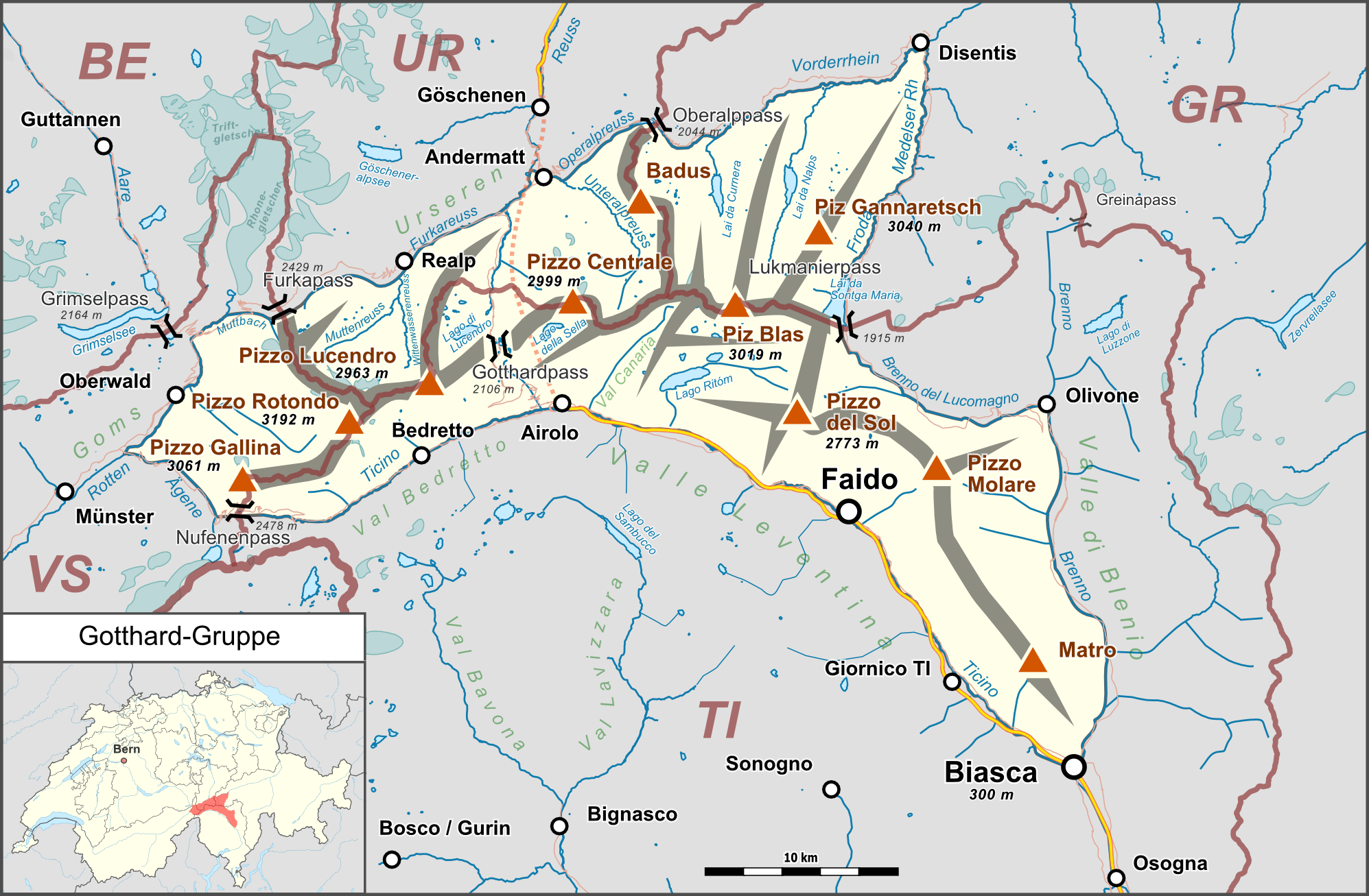
Deutsch: Lagekarte der Gotthard-Gruppe. |
| Datum | |
| Bron |
Eigen werk Map was created using:
|
| Auteur | |
| Toestemming (Hergebruik van dit bestand) |
Map data (c) OpenStreetMap (and) contributors, CC-BY-SA |
Dit bestand is gelicenseerd onder de Creative Commons-licentie Naamsvermelding-Gelijk delen 2.0 Unported
- De gebruiker mag:
- Delen – het werk kopiëren, verspreiden en doorgeven
- Remixen – afgeleide werken maken
- Onder de volgende voorwaarden:
- naamsvermelding – U moet op een gepaste manier aan naamsvermelding doen, een link naar de licentie geven, en aangeven of er wijzigingen in het werk zijn aangebracht. U mag dit op elke redelijke manier doen, maar niet zodanig dat de indruk wordt gewekt dat de licentiegever instemt met uw werk of uw gebruik van zijn werk.
- Gelijk delen – Als u het werk heeft geremixt, veranderd, of erop heeft voortgebouwd, moet u het gewijzigde materiaal verspreiden onder dezelfde licentie als het oorspronkelijke werk, of een daarmee compatibele licentie.
Bestandsgeschiedenis
Klik op een datum/tijd om het bestand te zien zoals het destijds was.
| Datum/tijd | Miniatuur | Afmetingen | Gebruiker | Opmerking | |
|---|---|---|---|---|---|
| huidige versie | 26 feb 2015 00:42 | | 1.995 × 1.307 (1,08 MB) | Pechristener | nachgebessert gem Disk in KW |
| 16 feb 2015 23:25 |  | 1.995 × 1.307 (1,06 MB) | Pechristener | Kantonsgrenzen besser, Abk der Kantone hinzu | |
| 14 feb 2015 19:15 |  | 1.995 × 1.307 (1,05 MB) | Pechristener | Lage von Münster korrigiert | |
| 14 feb 2015 18:36 |  | 1.995 × 1.307 (1,05 MB) | Pechristener | Landesgrenze eingefügt | |
| 14 feb 2015 03:58 |  | 1.995 × 1.307 (1,05 MB) | Pechristener | Rahmen etwas erweitert. | |
| 14 feb 2015 03:52 |  | 1.995 × 1.261 (1,03 MB) | Pechristener | {{Information |Description={{de|1=Lagekarte der Gotthard-Gruppe}} |Source ={{own}} Map was created using: *[http://www.openstreetmap.org/ Open Street Map] *[[:File:Switzerland location map.svg|Switzerland location ma... |
Bestandsgebruik
Geen enkele pagina gebruikt dit bestand.
Globaal bestandsgebruik
De volgende andere wiki's gebruiken dit bestand:
- Gebruikt op als.wikipedia.org
- Gebruikt op arz.wikipedia.org
- Gebruikt op bg.wikipedia.org
- Gebruikt op de.wikipedia.org
- Gotthardmassiv
- Rotondohütte
- Gurschenfirn
- Diskussion:Gotthardpass
- Tomasee
- Rossbodenstock
- Badus
- Diskussion:Tomasee
- Gotthardreuss
- Unteralpreuss
- Oberalpreuss
- Pizzo Rotondo
- Pizzo Gallina
- Witenwasserenstock
- Maighelshütte
- Badushütte
- Piz Alv (Gotthardmassiv)
- Pizzo Centrale
- Giübin
- Benutzer Diskussion:Pechristener/Archiv/1
- Gotthard-Gruppe
- Vorlage:Positionskarte Gotthard-Gruppe
- Pizzo Erra
- Pianca Bella
- Cogn
- Pizzo Pianché
- Croce di Sasso
- Matro
- Benutzer:FkMohr/Baustelle/Test
- Wikipedia:Kartenwerkstatt/Archiv/Zurückgewiesene und zurückgestellte Aufträge 2016
- Gemsstock
- Fibbia
- Pizzo dell’Uomo (2685 m)
- Pizzo dell’Uomo (2662 m)
- Liste der Gebirgsgruppen in den Westalpen
- Wikipedia:Projekt WikiAlpenforum (WAF)/Artikelwunsch Alpenverein/Capanna Gorda
- Benutzer:FkMohr/Baustelle/Poskarte
- Passo dei Sabbioni
- Gebruikt op en.wikipedia.org
- Gebruikt op es.wikipedia.org
- Gebruikt op fr.wikipedia.org
- Gebruikt op it.wikipedia.org
- Gebruikt op no.wikipedia.org
- Gebruikt op pl.wikipedia.org
- Gebruikt op sv.wikipedia.org
- Gebruikt op uk.wikipedia.org
- Gebruikt op vec.wikipedia.org
Globaal gebruik van dit bestand bekijken.