
Bestand:Map - NL - Gemeente Zuidplas.svg

Afmetingen van deze voorvertoning van het type PNG van dit SVG-bestand: 800 × 432 pixels Andere resoluties: 320 × 173 pixels | 640 × 345 pixels | 1.024 × 552 pixels | 1.280 × 690 pixels | 2.560 × 1.381 pixels | 2.551 × 1.376 pixels.
Oorspronkelijk bestand (SVG-bestand, nominaal 2.551 × 1.376 pixels, bestandsgrootte: 522 kB)
| Dit is een bestand van Wikimedia Commons. Onderstaande beschrijving komt van de beschrijving van het bestand daar. |
| Beschrijving |
|
|||
| Datum | ||||
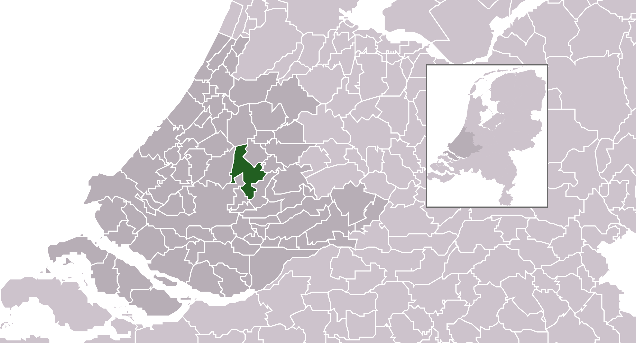
| Bron | own work , using CBS data | |||
| Auteur | Michiel1972 (talk) 23:22, 24 January 2009 (UTC) | |||
| Toestemming (Hergebruik van dit bestand) |
Attribution ShareAlike 3.0 |

Dit bestand is gelicenseerd onder de Creative Commons-licentie Naamsvermelding-Gelijk delen 3.0 Unported
- De gebruiker mag:
- Delen – het werk kopiëren, verspreiden en doorgeven
- Remixen – afgeleide werken maken
- Onder de volgende voorwaarden:
- naamsvermelding – U moet op een gepaste manier aan naamsvermelding doen, een link naar de licentie geven, en aangeven of er wijzigingen in het werk zijn aangebracht. U mag dit op elke redelijke manier doen, maar niet zodanig dat de indruk wordt gewekt dat de licentiegever instemt met uw werk of uw gebruik van zijn werk.
- Gelijk delen – Als u het werk heeft geremixt, veranderd, of erop heeft voortgebouwd, moet u het gewijzigde materiaal verspreiden onder dezelfde licentie als het oorspronkelijke werk, of een daarmee compatibele licentie.
Bestandsgeschiedenis
Klik op een datum/tijd om het bestand te zien zoals het destijds was.
| Datum/tijd | Miniatuur | Afmetingen | Gebruiker | Opmerking | |
|---|---|---|---|---|---|
| huidige versie | 4 jan 2010 20:59 | | 2.551 × 1.376 (522 kB) | Wester | i |
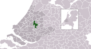
| 29 jan 2009 11:51 |  | 300 × 160 (553 kB) | Michiel1972 | {{Information |Description=*Location map future "Zuidplas" municipality in the Netherlands. Boundaries according 1/1/2009 *Automatically generated with script *File name contains "Municipality code" (CBS-code) as specified in: [http://www.cbs.nl/nl-NL/me |
Bestandsgebruik
Dit bestand wordt op de volgende pagina gebruikt:
Globaal bestandsgebruik
De volgende andere wiki's gebruiken dit bestand:
- Gebruikt op ar.wikipedia.org
- Gebruikt op de.wikipedia.org
- Gebruikt op eo.wikipedia.org
- Gebruikt op fa.wikipedia.org
- Gebruikt op fr.wikipedia.org
- Gebruikt op it.wikipedia.org
- Gebruikt op la.wikipedia.org
- Gebruikt op li.wikipedia.org
- Gebruikt op ru.wikipedia.org
- Gebruikt op stq.wikipedia.org
- Gebruikt op sv.wikipedia.org